Transport Functions
Port
Road
Hub Profile
Place type
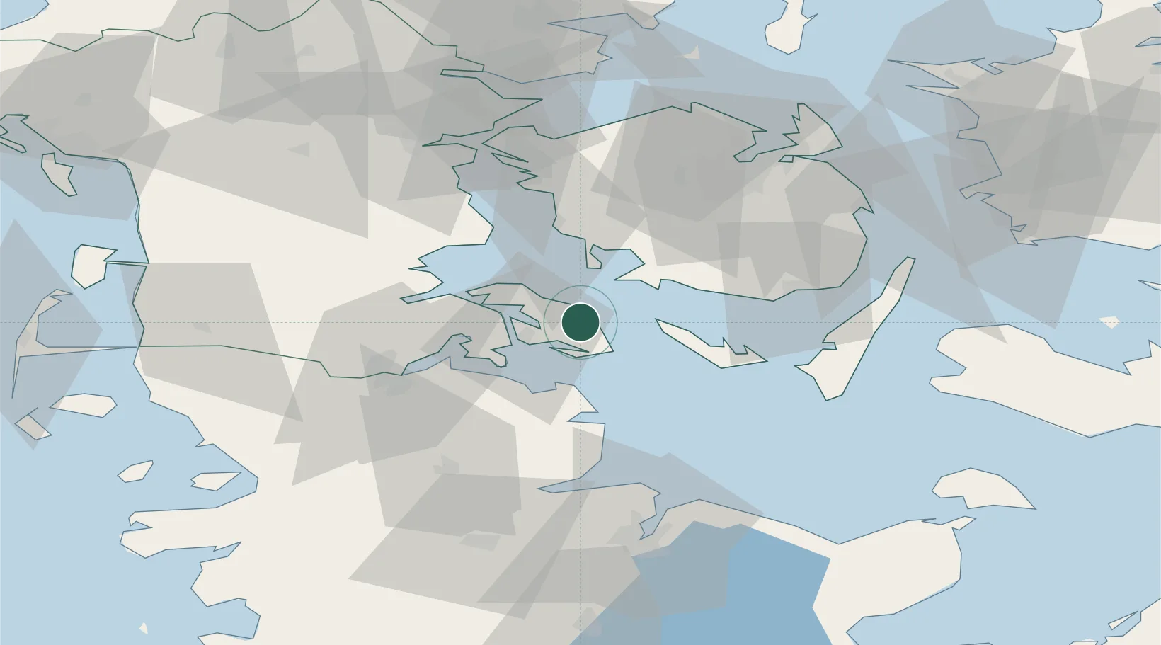
Populated place
Region
South Denmark
Time zone
Europe/Copenhagen
Elevation
24 m
Location
Nearby Logistics Neighbours
Cities
- 1Sydals9 km
- 2Sønderborg14 km
- 3Bøjden17 km
- 4Avernak By21 km
- 5Hasselberg28 km
Ports
- 1Augustenborg7 km
- 2Sonderborg13 km
- 3Faborg23 km
- 4Marstal24 km
- 5Kappeln33 km
Airports
- 1Sønderborg Airport11 km
- 2Ærø Airfield34 km
- 3Sydfyn (Tasinge) Airfield39 km
- 4Skrydstrup Air Base53 km
- 5Odense Hans Christian Andersen Airport61 km
Trade Zones
DatabookThe Record of Consolidated Knowledge
Denmark beyond logistics?