Transport Functions
Port
Road
Multimodal
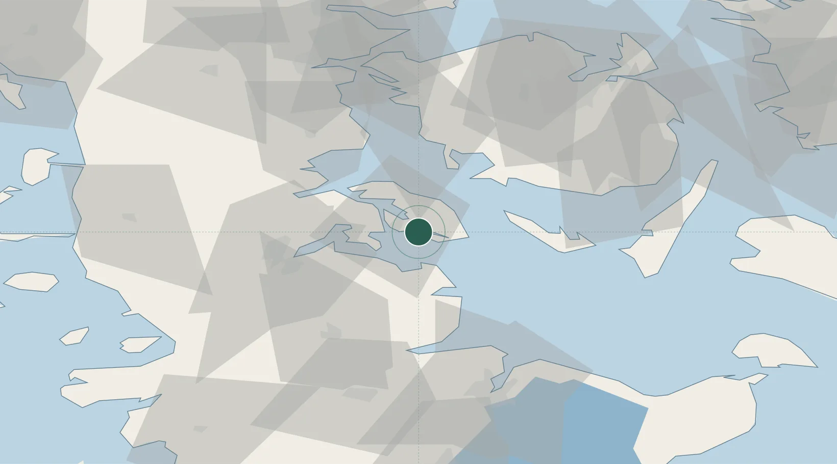
Location
Nearby Logistics Neighbours
Cities
- 1Sønderborg6 km
- 2Fynshav9 km
- 3Langballig20 km
- 4Hasselberg21 km
- 5Glücksburg23 km
Ports
- 1Augustenborg6 km
- 2Sonderborg7 km
- 3Kappeln26 km
- 4Marstal29 km
- 5Flensburg31 km
Airports
- 1Sønderborg Airport9 km
- 2Ærø Airfield37 km
- 3Sydfyn (Tasinge) Airfield45 km
- 4Skrydstrup Air Base53 km
- 5Schleswig Air Base54 km
Trade Zones
DatabookThe Record of Consolidated Knowledge
Denmark beyond logistics?