Transport Functions
Port
Rail
Road
Hub Profile
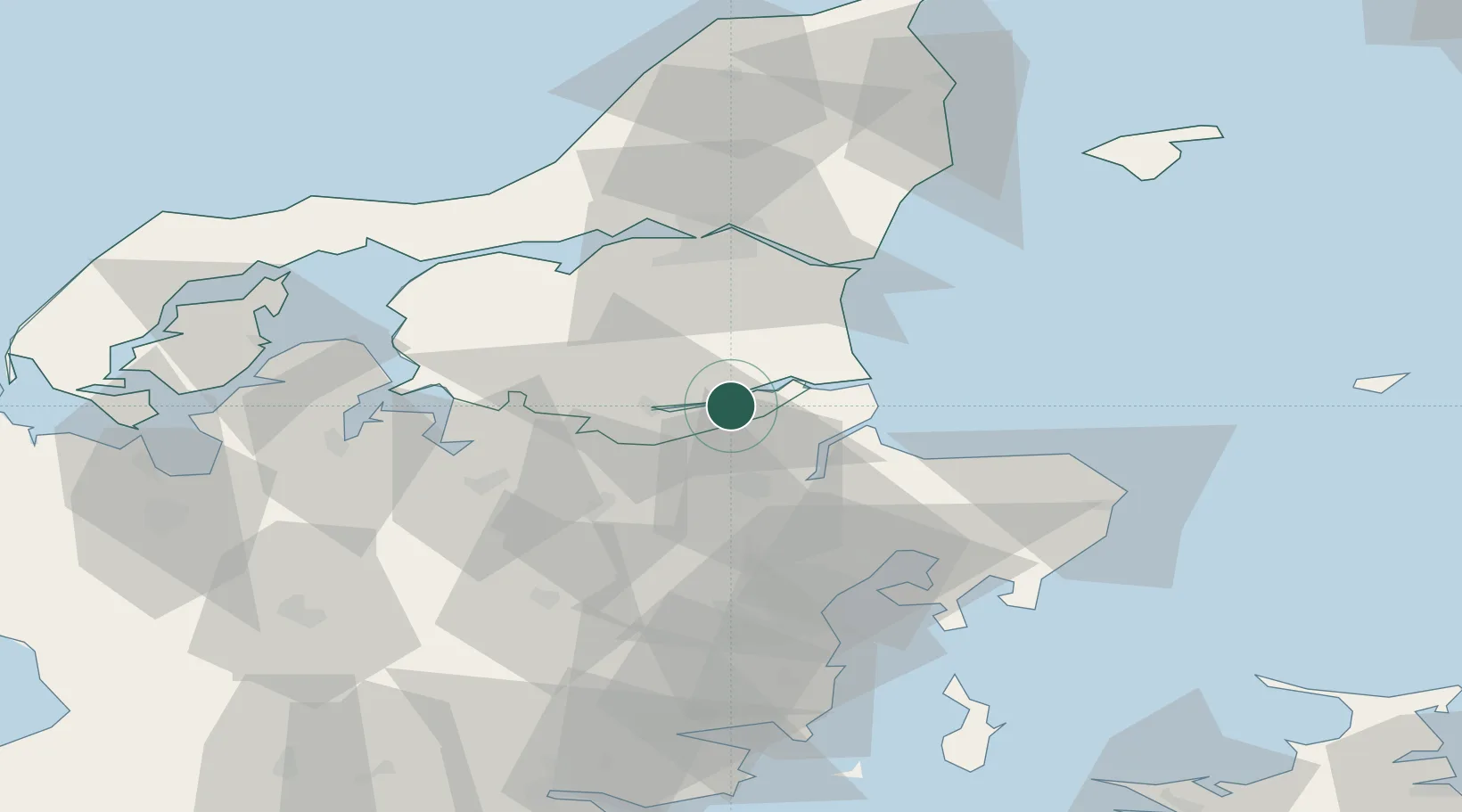
Place type
Populated place
Region
North Denmark
Population
2,506
Time zone
Europe/Copenhagen
Elevation
25 m
Location
Nearby Logistics Neighbours
Cities
- 1Maasholm4 km
- 2Kongsdal Harbour7 km
- 3Hadsund10 km
- 4Spentrup11 km
- 5Baelum20 km
Airports
- 1Aalborg Airport50 km
- 2Skive Airport52 km
- 3Aarhus Airport54 km
- 4Aarhus Seaplane Terminal57 km
- 5Midtjyllands Airport / Air Base Karup68 km
Trade Zones
- 1Gothenburg Boundless Customs Warehouse160 km
- 2Freeport of Copenhagen- Nordhavn192 km
- 3MTS Malmö Transport and Spedition224 km
- 4Freeport of Kiel258 km
- 5Jönköping Free Zone276 km
DatabookThe Record of Consolidated Knowledge
Denmark beyond logistics?