Transport Functions
Port
Hub Profile
Place type
Local administrative seat
Region
Schleswig-Holstein
Population
697
Time zone
Europe/Berlin
Elevation
4 m
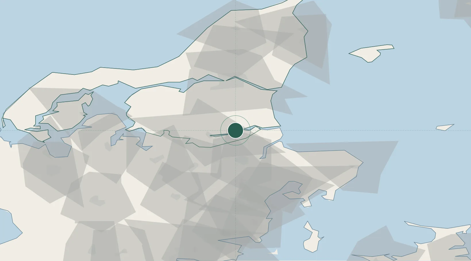
Location
Nearby Logistics Neighbours
Cities
- 1Mariager4 km
- 2Kongsdal Harbour5 km
- 3Hadsund7 km
- 4Spentrup15 km
- 5Baelum16 km
Airports
- 1Aalborg Airport47 km
- 2Skive Airport53 km
- 3Aarhus Airport57 km
- 4Aarhus Seaplane Terminal61 km
- 5Midtjyllands Airport / Air Base Karup70 km
Trade Zones
- 1Gothenburg Boundless Customs Warehouse158 km
- 2Freeport of Copenhagen- Nordhavn194 km
- 3MTS Malmö Transport and Spedition226 km
- 4Freeport of Kiel261 km
- 5Jönköping Free Zone274 km
DatabookThe Record of Consolidated Knowledge
Germany beyond logistics?