Transport Functions
Port
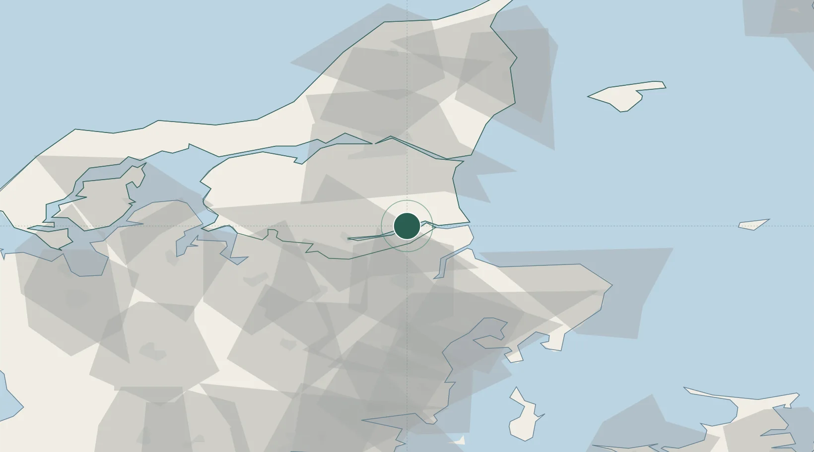
Location
Nearby Logistics Neighbours
Airports
- 1Aalborg Airport46 km
- 2Aarhus Airport56 km
- 3Skive Airport57 km
- 4Aarhus Seaplane Terminal62 km
- 5Midtjyllands Airport / Air Base Karup74 km
Trade Zones
- 1Gothenburg Boundless Customs Warehouse154 km
- 2Freeport of Copenhagen- Nordhavn191 km
- 3MTS Malmö Transport and Spedition224 km
- 4Freeport of Kiel263 km
- 5Jönköping Free Zone270 km
DatabookThe Record of Consolidated Knowledge
Denmark beyond logistics?