UN/LOCODE hub · Denmark
DKAAO

Hurup Thy

56.7500°, 8.4167°
1
Transport functions

Transport Functions

Multimodal
UN/LOCODE

Hub Profile

Region
82
GeoNames

Location

Location of DKAAO
Natural Earth 10m (public domain) · 82 · DKAAO · 56.75, 8.42GoogleOSMYandex

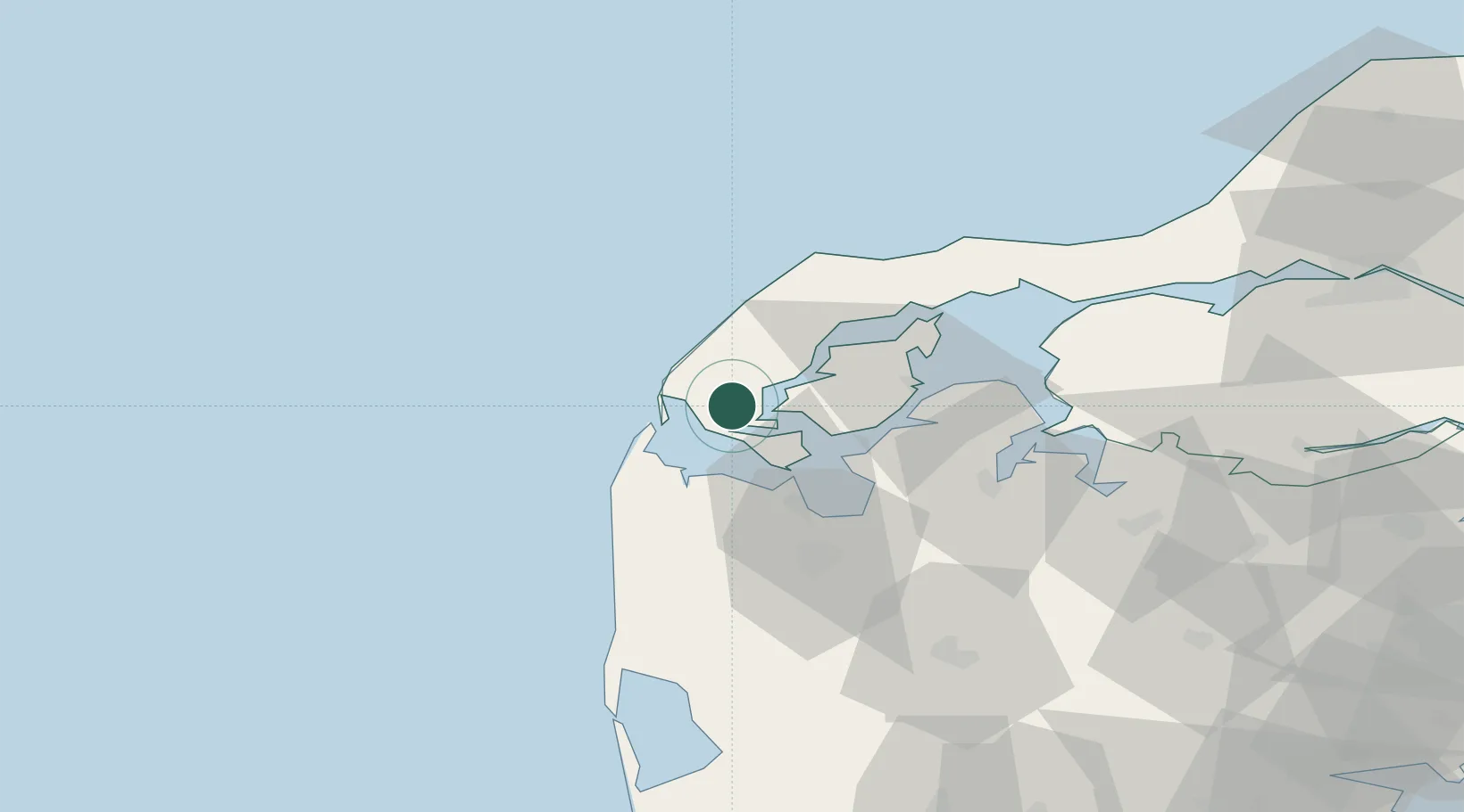
Nearby Logistics Neighbours

Cities
  1. 1Thyholm13 km
  2. 2Thyborøn13 km
  3. 3Sundby/Mors20 km
  4. 4Harboør21 km
  5. 5Kleppen26 km
Nearest neighbours — logibook spatial index (haversine) over the source coordinates
Ports
  1. 1Thyboron13 km
  2. 2Lemvig20 km
  3. 3Thisted28 km
  4. 4Holstebro-Stuer30 km
  5. 5Hanstholm44 km
Nearest neighbours — logibook spatial index (haversine) over the source coordinates
Airports
  1. 1Thisted Airport40 km
  2. 2Skive Airport51 km
  3. 3Midtjyllands Airport / Air Base Karup66 km
  4. 4Stauning Vestjylland Airport85 km
  5. 5Aalborg Airport95 km
Nearest neighbours — logibook spatial index (haversine) over the source coordinates
Trade Zones
  1. 1Gothenburg Boundless Customs Warehouse230 km
  2. 2Freeport of Copenhagen- Nordhavn283 km
  3. 3Freeport of Kiel291 km
  4. 4MTS Malmö Transport and Spedition316 km
  5. 5Freeport of Cuxhaven (Freihafen Cuxhaven)325 km
Nearest neighbours — logibook spatial index (haversine) over the source coordinates
DatabookThe Record of Consolidated Knowledge
Denmark beyond logistics?
Browse databook

All Sources

LocationsUN/LOCODE
UN/LOCODE — free
Portsthe NGA World Port Index
Public domain (US gov)
AirportsOurAirports
Public domain
Trade Zonesthe World Bank SEZ database
CC BY 4.0
Trade ZonesOpen Zone Map
CC BY
← Denmark locations