UN/LOCODE hub · Denmark
DKNYM

Nykøbing Mors

56.7833°, 8.8500°
2
Transport functions

Transport Functions

Port
Road
Nykøbing Mors is also a profiled seaport →
UN/LOCODE

Hub Profile

Region
81
GeoNames

Location

Location of DKNYM
Natural Earth 10m (public domain) · 81 · DKNYM · 56.78, 8.85GoogleOSMYandex

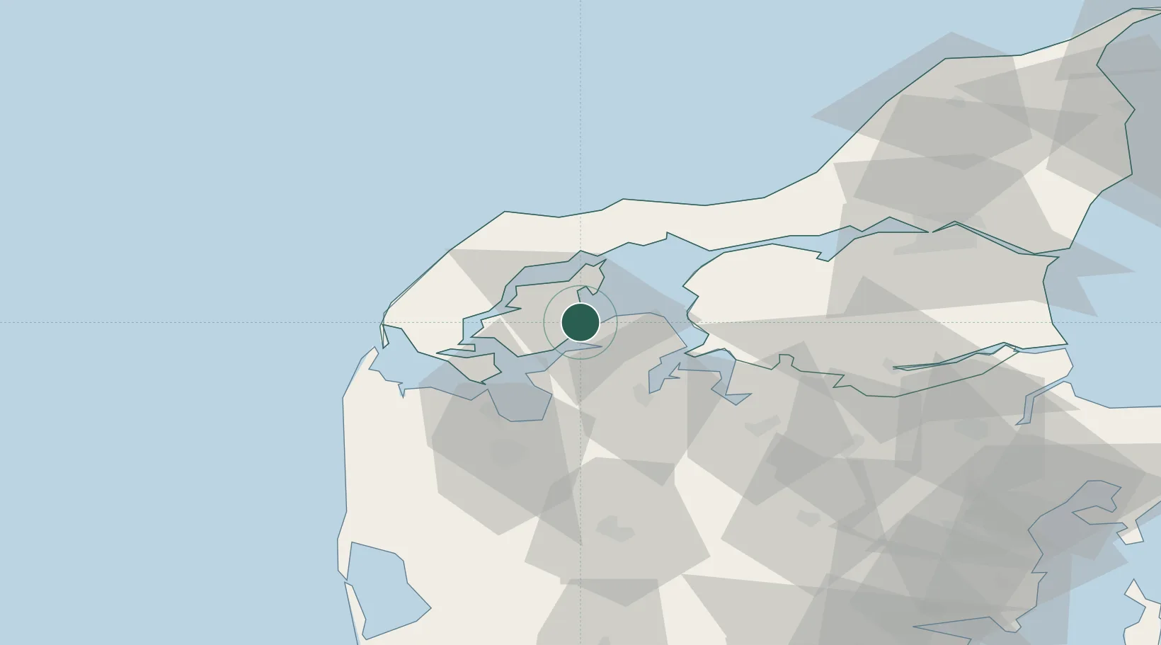
Nearby Logistics Neighbours

Cities
  1. 1Sundby/Mors15 km
  2. 2Strandby22 km
  3. 3Thyholm25 km
  4. 4Hurup Thy27 km
  5. 5Kleppen32 km
Nearest neighbours — logibook spatial index (haversine) over the source coordinates
Ports
  1. 1Thisted21 km
  2. 2Holstebro-Stuer36 km
  3. 3Thyboron40 km
  4. 4Lemvig41 km
  5. 5Hanstholm42 km
Nearest neighbours — logibook spatial index (haversine) over the source coordinates
Airports
  1. 1Skive Airport33 km
  2. 2Thisted Airport33 km
  3. 3Midtjyllands Airport / Air Base Karup56 km
  4. 4Aalborg Airport70 km
  5. 5Stauning Vestjylland Airport93 km
Nearest neighbours — logibook spatial index (haversine) over the source coordinates
Trade Zones
  1. 1Gothenburg Boundless Customs Warehouse206 km
  2. 2Freeport of Copenhagen- Nordhavn260 km
  3. 3Freeport of Kiel285 km
  4. 4MTS Malmö Transport and Spedition293 km
  5. 5Freeport of Cuxhaven (Freihafen Cuxhaven)329 km
Nearest neighbours — logibook spatial index (haversine) over the source coordinates
DatabookThe Record of Consolidated Knowledge
Denmark beyond logistics?
Browse databook

All Sources

LocationsUN/LOCODE
UN/LOCODE — free
Portsthe NGA World Port Index
Public domain (US gov)
AirportsOurAirports
Public domain
Trade Zonesthe World Bank SEZ database
CC BY 4.0
Trade ZonesOpen Zone Map
CC BY
← Denmark locations