UN/LOCODE hub · Denmark
DKTHN

Thyborøn

56.7000°, 8.2167°
1
Transport functions

Transport Functions

Multimodal
Thyborøn is also a profiled seaport →
UN/LOCODE

Location

Location of DKTHN
Natural Earth 10m (public domain) · Midtjylland · DKTHN · 56.70, 8.22GoogleOSMYandex

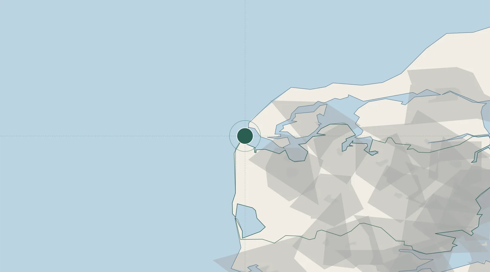
Nearby Logistics Neighbours

Cities
  1. 1Harboør10 km
  2. 2Hurup Thy13 km
  3. 3Thyholm19 km
  4. 4Kleppen29 km
  5. 5Bøvlingbjerg30 km
Nearest neighbours — logibook spatial index (haversine) over the source coordinates
Ports
  1. 1Lemvig14 km
  2. 2Holstebro-Stuer32 km
  3. 3Thisted41 km
  4. 4Hanstholm54 km
  5. 5Ringkobing69 km
Nearest neighbours — logibook spatial index (haversine) over the source coordinates
Airports
  1. 1Thisted Airport51 km
  2. 2Skive Airport61 km
  3. 3Midtjyllands Airport / Air Base Karup71 km
  4. 4Stauning Vestjylland Airport79 km
  5. 5Aalborg Airport109 km
Nearest neighbours — logibook spatial index (haversine) over the source coordinates
Trade Zones
  1. 1Gothenburg Boundless Customs Warehouse244 km
  2. 2Freeport of Kiel291 km
  3. 3Freeport of Copenhagen- Nordhavn292 km
  4. 4Freeport of Cuxhaven (Freihafen Cuxhaven)320 km
  5. 5MTS Malmö Transport and Spedition326 km
Nearest neighbours — logibook spatial index (haversine) over the source coordinates
DatabookThe Record of Consolidated Knowledge
Denmark beyond logistics?
Browse databook

All Sources

LocationsUN/LOCODE
UN/LOCODE — free
Portsthe NGA World Port Index
Public domain (US gov)
AirportsOurAirports
Public domain
Trade Zonesthe World Bank SEZ database
CC BY 4.0
Trade ZonesOpen Zone Map
CC BY
← Denmark locations