Channel & Berth Profile
Pilotage, Tugs & Services
Pilotage compulsoryYES
Potable waterYES
MedicalYES
Garbage disposalYES
Facilities & Capabilities
Container—
Ro-Ro—
Liquid bulk—
Dry bulk—
Oil terminal—
Break bulk—
Dry dock—
RepairsNO
BunkeringYES
Rail linkYES
Dangerous cargo—
ISPS security—
Harbour Specifications
Harbour size
Small
Harbour type
Coastal (Breakwater)
Shelter
Good
Water body
Kattegat; North Atlantic Ocean
Overhead limit
Yes
Pilotage
Yes
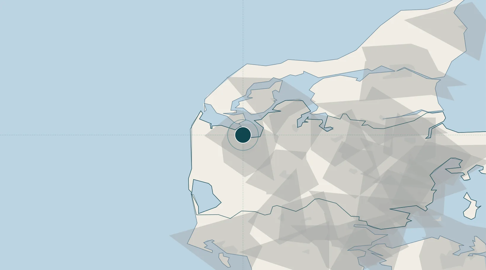
Location
Nearby Logistics Neighbours
Ports
- 1Lemvig21 km
- 2Thyboron32 km
- 3Thisted51 km
- 4Ringkobing51 km
- 5Hanstholm70 km
Cities
- 1Kleppen4 km
- 2Thyholm17 km
- 3Bækmarksbro19 km
- 4Bøvlingbjerg25 km
- 5Harboør28 km
Airports
- 1Skive Airport37 km
- 2Midtjyllands Airport / Air Base Karup39 km
- 3Stauning Vestjylland Airport58 km
- 4Thisted Airport64 km
- 5Billund Airport92 km
Trade Zones
DatabookThe Record of Consolidated Knowledge
Denmark beyond logistics?