UN/LOCODE hub · Denmark
DKSTY

Strandby

56.7833°, 9.2167°
1
Transport functions

Transport Functions

Multimodal
UN/LOCODE

Hub Profile

Place type
Populated place
GeoNames
Region
North Denmark
GeoNames
Time zone
Europe/Copenhagen
GeoNames
Elevation
20 m
GeoNames

Location

Location of DKSTY
Natural Earth 10m (public domain) · North Denmark · DKSTY · 56.78, 9.22GoogleOSMYandex

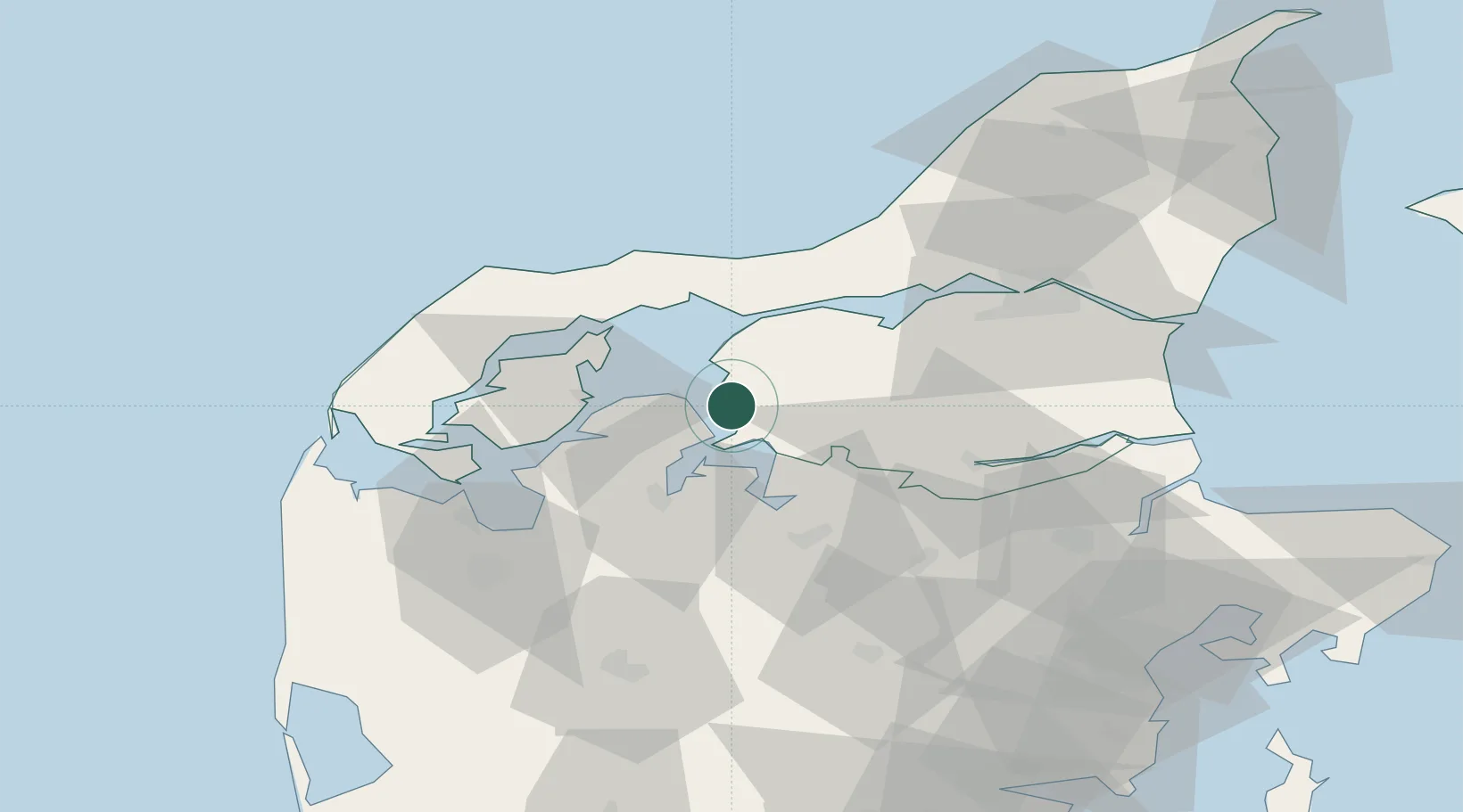
Nearby Logistics Neighbours

Cities
  1. 1Nykøbing Mors22 km
  2. 2Sundby/Mors35 km
  3. 3Tjele39 km
  4. 4Thyholm45 km
  5. 5Kleppen48 km
Nearest neighbours — logibook spatial index (haversine) over the source coordinates
Ports
  1. 1Thisted37 km
  2. 2Hobro39 km
  3. 3Mariager49 km
  4. 4Holstebro-Stuer50 km
  5. 5Alborg53 km
Nearest neighbours — logibook spatial index (haversine) over the source coordinates
Airports
  1. 1Skive Airport26 km
  2. 2Thisted Airport44 km
  3. 3Aalborg Airport52 km
  4. 4Midtjyllands Airport / Air Base Karup55 km
  5. 5Aarhus Seaplane Terminal95 km
Nearest neighbours — logibook spatial index (haversine) over the source coordinates
Trade Zones
  1. 1Gothenburg Boundless Customs Warehouse187 km
  2. 2Freeport of Copenhagen- Nordhavn241 km
  3. 3MTS Malmö Transport and Spedition273 km
  4. 4Freeport of Kiel279 km
  5. 5Jönköping Free Zone313 km
Nearest neighbours — logibook spatial index (haversine) over the source coordinates
DatabookThe Record of Consolidated Knowledge
Denmark beyond logistics?
Browse databook

All Sources

LocationsUN/LOCODE
UN/LOCODE — free
Portsthe NGA World Port Index
Public domain (US gov)
AirportsOurAirports
Public domain
Trade Zonesthe World Bank SEZ database
CC BY 4.0
Trade ZonesOpen Zone Map
CC BY
← Denmark locations