UN/LOCODE hub · Cyprus
CYVAS

Vasilikos

34.7167°, 33.3167°
1
Transport functions

Transport Functions

Port
UN/LOCODE

Hub Profile

Region
03
GeoNames

Location

Location of CYVAS
Natural Earth 10m (public domain) · 03 · CYVAS · 34.72, 33.32GoogleOSMYandex

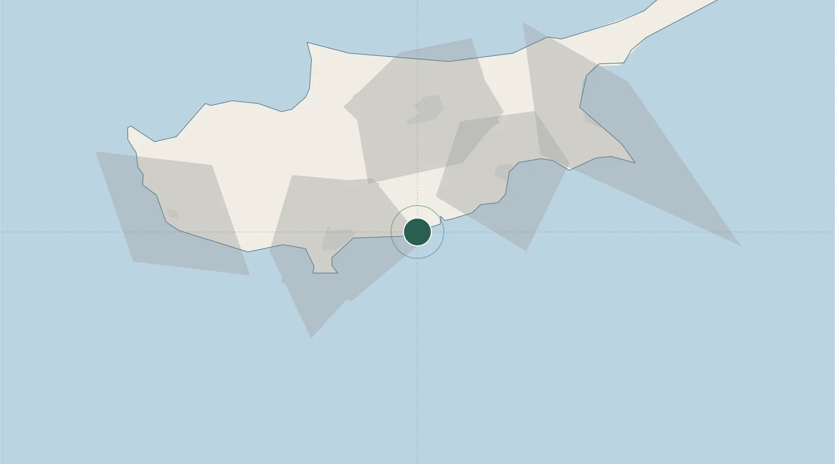
Nearby Logistics Neighbours

Cities
  1. 1Zyyi2 km
  2. 2Moni11 km
  3. 3Limassol30 km
  4. 4Larnaca35 km
  5. 5Akrotiri36 km
Nearest neighbours — logibook spatial index (haversine) over the source coordinates
Ports
  1. 1Limassol25 km
  2. 2Larnaca38 km
  3. 3Dhekelia46 km
  4. 4Xeros64 km
  5. 5Kyrenia70 km
Nearest neighbours — logibook spatial index (haversine) over the source coordinates
Airports
  1. 1RAF Akrotiri33 km
  2. 2Larnaca International Airport33 km
  3. 3Ercan International Airport52 km
  4. 4Lefkoniko Airport / Geçitkale Air Base68 km
  5. 5Paphos International Airport76 km
Nearest neighbours — logibook spatial index (haversine) over the source coordinates
Trade Zones
  1. 1Limassol Free Port28 km
  2. 2Larnaca Free Zone31 km
  3. 3Famagusta Free Port and Zone73 km
  4. 4Port of Beirut Logistics Free Zone221 km
  5. 5Tripoli Special Economic Zone232 km
Nearest neighbours — logibook spatial index (haversine) over the source coordinates
DatabookThe Record of Consolidated Knowledge
Cyprus beyond logistics?
Browse databook

All Sources

LocationsUN/LOCODE
UN/LOCODE — free
Portsthe NGA World Port Index
Public domain (US gov)
AirportsOurAirports
Public domain
Trade Zonesthe World Bank SEZ database
CC BY 4.0
Trade ZonesOpen Zone Map
CC BY
← Cyprus locations