Transport Functions
Port
Hub Profile
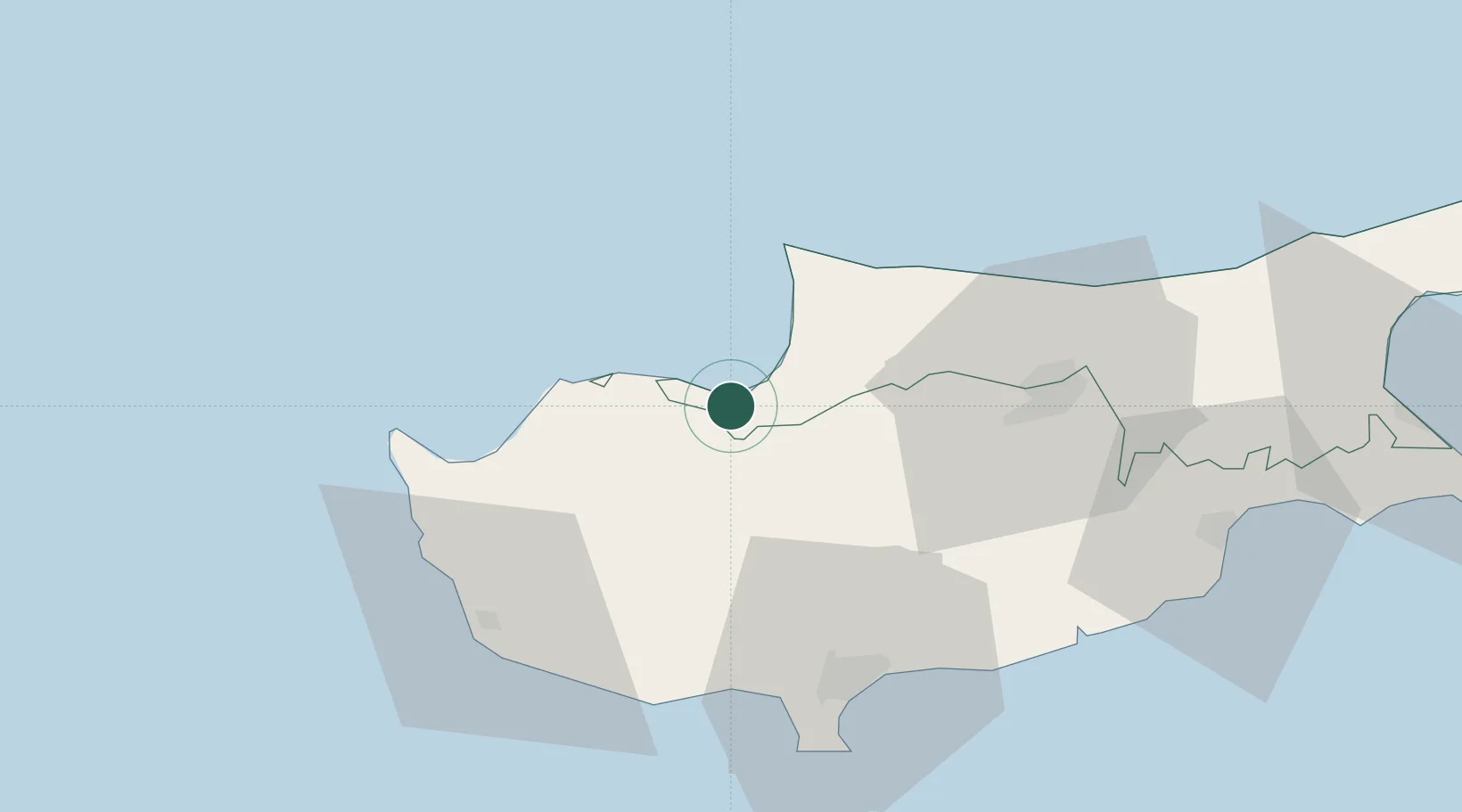
Place type
Populated place
Region
Nicosia
Time zone
Asia/Nicosia
Elevation
10 m
Location
Nearby Logistics Neighbours
Airports
Trade Zones
- 1Limassol Free Port56 km
- 2Larnaca Free Zone71 km
- 3Famagusta Free Port and Zone101 km
- 4Karaman Organized Industrial Zone235 km
- 5Mersin Free Zone249 km
DatabookThe Record of Consolidated Knowledge
Cyprus beyond logistics?