Medium airport · Costa Rica

Guapiles AirportMRGP
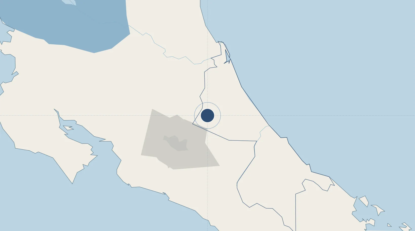
10.2172°, -83.7970°
3,609 ft
Longest runway
1
Runways
883 ft
Elevation

Runway & Layout

Guapiles Airport runway & taxiway layout
Runway & taxiway layout — OpenStreetMap (ODbL) / OurAirports

Radio Frequencies

RDO
126.8 MHz
COCO RDO
OurAirports

Runways · 1

RunwayDimensions SurfaceTrue headingLit
03/21 3,609 × 30ft Concrete 036°
OurAirports

Airport Specifications

IATA code
GPL
OurAirports
ICAO code
MRGP
OurAirports
Airport class
Medium airport
OurAirports
Scheduled service
No
OurAirports
Runway surface
Concrete
OurAirports
Served city
Pococi
OurAirports

Location

Location of MRGP
Natural Earth 10m (public domain) · Limón · MRGP · 10.22, -83.80GoogleOSMYandex

Nearby Logistics Neighbours

Airports
  1. 1Aerotortuguero Airport31 km
  2. 2Tobías Bolaños International Airport47 km
  3. 3Juan Santamaría International Airport52 km
  4. 4Barra del Colorado Airport66 km
  5. 5Limón International Airport90 km
Nearest neighbours — logibook spatial index (haversine) over the source coordinates
Cities
  1. 1Roxana8 km
  2. 2Limon Via Turrialba21 km
  3. 3Rio Jimenez22 km
  4. 4Villa Franca23 km
  5. 5Francia29 km
Nearest neighbours — logibook spatial index (haversine) over the source coordinates
Ports
  1. 1Puerto Moin82 km
  2. 2Puerto Limon89 km
  3. 3Puerto Quepos96 km
  4. 4Puerto Caldera106 km
  5. 5Puntarenas116 km
Nearest neighbours — logibook spatial index (haversine) over the source coordinates
Trade Zones
  1. 1FreeHold Free Zone38 km
  2. 2El Roble Industrial Logistics Zone (RILZ)42 km
  3. 3Parque Empresarial Del Este43 km
  4. 4Del Este Free Zone43 km
  5. 5Lima Free Zone and Business Park43 km
Nearest neighbours — logibook spatial index (haversine) over the source coordinates
DatabookThe Record of Consolidated Knowledge
Costa Rica beyond logistics?
Browse databook

All Sources

AirportsOurAirports
Public domain
Portsthe NGA World Port Index
Public domain (US gov)
LocationsUN/LOCODE
UN/LOCODE — free
Trade Zonesthe World Bank SEZ database
CC BY 4.0
Trade ZonesOpen Zone Map
CC BY
InfrastructureOpenStreetMap
ODbL 1.0
← Costa Rica airports