Transport Functions
Multimodal
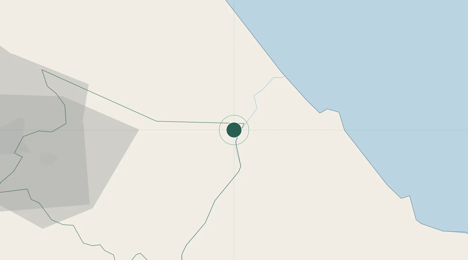
Hub Profile
Place type
Populated place
Region
Cartago Province
Time zone
America/Costa_Rica
Elevation
149 m
Location
Nearby Logistics Neighbours
Cities
- 1Moravia14 km
- 2Búffalo21 km
- 3Limon22 km
- 4Aguas Zarcas24 km
- 5Siquirres25 km
Ports
- 1Puerto Moin30 km
- 2Puerto Limon37 km
- 3Puerto Quepos106 km
- 4Almirante127 km
- 5Bocas Del Toro140 km
Airports
Trade Zones
DatabookThe Record of Consolidated Knowledge
Costa Rica beyond logistics?