UN/LOCODE hub · Costa Rica
CRBFL

Búffalo

10.0167°, -83.1667°
1
Transport functions

Transport Functions

Multimodal
UN/LOCODE

Hub Profile

Region
L
GeoNames

Location

Location of CRBFL
Natural Earth 10m (public domain) · L · CRBFL · 10.02, -83.17GoogleOSMYandex

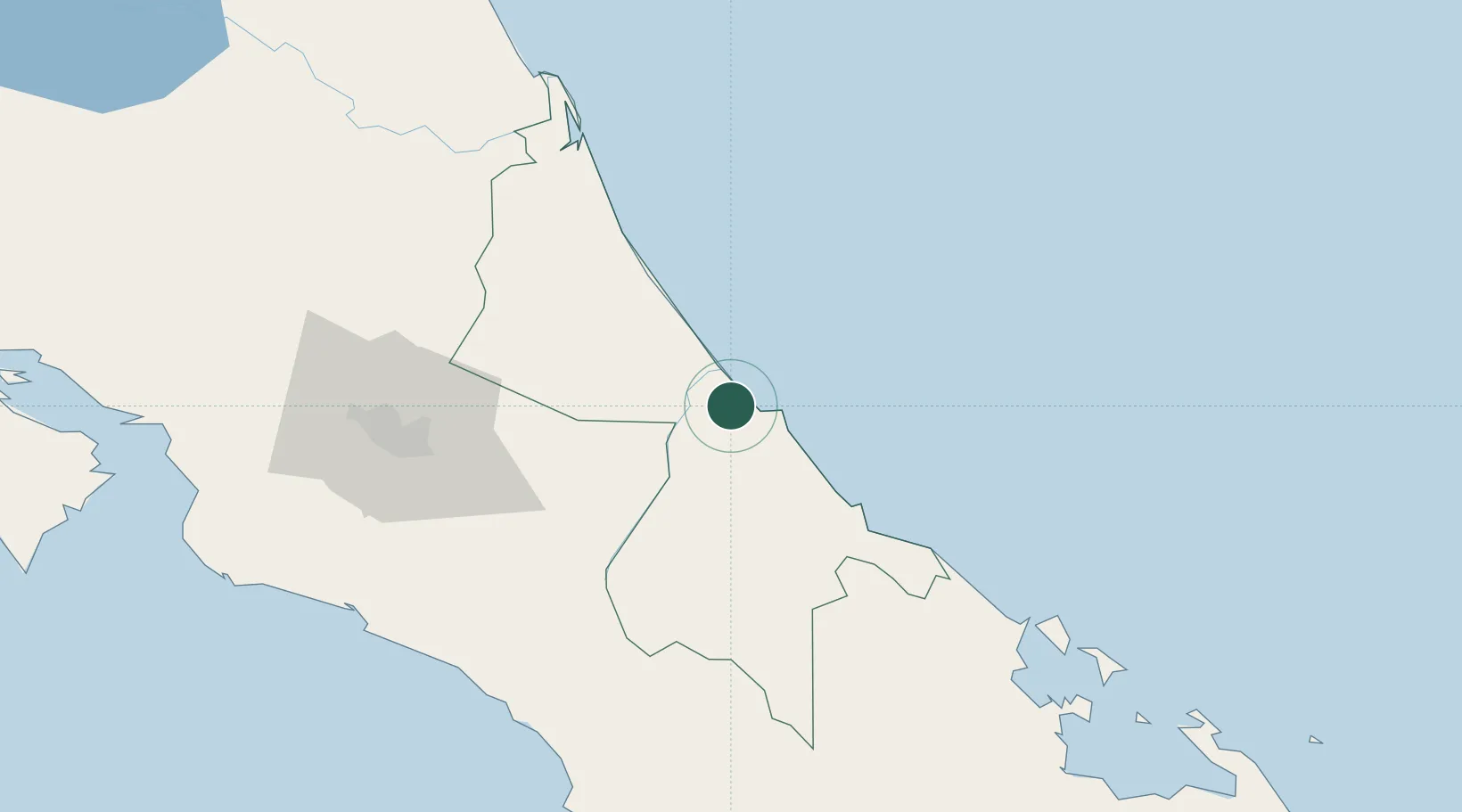
Nearby Logistics Neighbours

Cities
  1. 1Limon3 km
  2. 2Puerto Limón8 km
  3. 3Moín8 km
  4. 4Aguas Zarcas14 km
  5. 5Playa Hermosa21 km
Nearest neighbours — logibook spatial index (haversine) over the source coordinates
Ports
  1. 1Puerto Moin9 km
  2. 2Puerto Limon17 km
  3. 3Almirante116 km
  4. 4Puerto Quepos127 km
  5. 5Bocas Del Toro127 km
Nearest neighbours — logibook spatial index (haversine) over the source coordinates
Airports
  1. 1Limón International Airport17 km
  2. 2Aerotortuguero Airport66 km
  3. 3Guapiles Airport73 km
  4. 4Changuinola Captain Manuel Niño International Airport95 km
  5. 5Barra del Colorado Airport95 km
Nearest neighbours — logibook spatial index (haversine) over the source coordinates
Trade Zones
  1. 1Caribe Industrial Park & Free Zone7 km
  2. 2FreeHold Free Zone35 km
  3. 3Lima Free Zone and Business Park88 km
  4. 4Zeta Free Zone Catargo88 km
  5. 5El Roble Industrial Logistics Zone (RILZ)99 km
Nearest neighbours — logibook spatial index (haversine) over the source coordinates
DatabookThe Record of Consolidated Knowledge
Costa Rica beyond logistics?
Browse databook

All Sources

LocationsUN/LOCODE
UN/LOCODE — free
Portsthe NGA World Port Index
Public domain (US gov)
AirportsOurAirports
Public domain
Trade Zonesthe World Bank SEZ database
CC BY 4.0
Trade ZonesOpen Zone Map
CC BY
← Costa Rica locations