UN/LOCODE hub · Colombia
COPUC
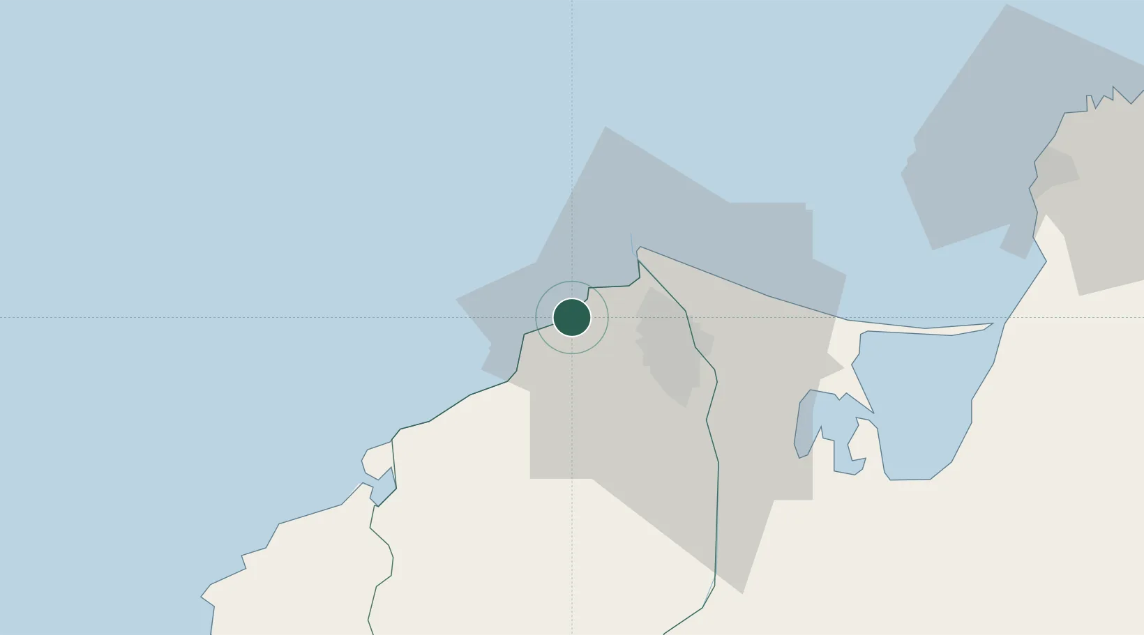
Puerto Colombia
11.0000°, -74.9500°
26,227
Population
2
Transport functions
Transport Functions
Port
Road
Hub Profile
Place type
Provincial seat
Region
Atlántico
Population
26,227
Time zone
America/Bogota
Elevation
12 m
Location
Nearby Logistics Neighbours
Cities
- 1Galapa13 km
- 2Barranquilla21 km
- 3Puerto Bolívar42 km
- 4Santa Marta85 km
- 5Turbaco91 km
Ports
- 1Barranquilla20 km
- 2Pozos Colorados78 km
- 3Puerto Prodeco82 km
- 4Santa Marta85 km
- 5Cartagena91 km
Airports
Trade Zones
DatabookThe Record of Consolidated Knowledge
Colombia beyond logistics?