Transport Functions
Port
Road
Multimodal
Hub Profile
Region
BOL
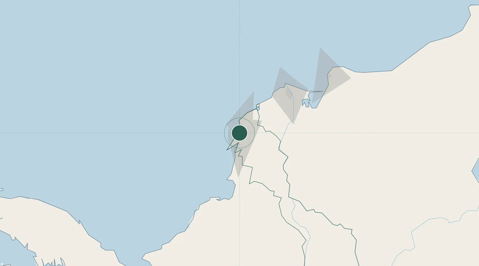
Location
Nearby Logistics Neighbours
Cities
- 1Cartagena2 km
- 2Sociedad Portuaria Regional Cartagena3 km
- 3Mamonal8 km
- 4Turbaco15 km
- 5El Carmen de Bolívar86 km
Ports
- 1El Bosque3 km
- 2Cartagena4 km
- 3Mamonal7 km
- 4Covenas Offshore Term.101 km
- 5Barranquilla105 km
Airports
DatabookThe Record of Consolidated Knowledge
Colombia beyond logistics?