UN/LOCODE hub · Colombia
COSPC

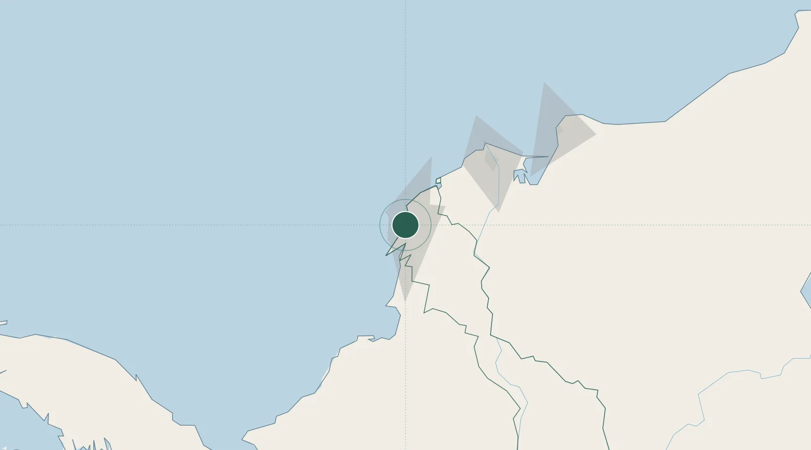
Sociedad Portuaria Regional Cartagena

10.4000°, -75.5333°
3
Transport functions

Transport Functions

Port
Road
Multimodal
UN/LOCODE

Hub Profile

Region
BOL
GeoNames

Location

Location of COSPC
Natural Earth 10m (public domain) · BOL · COSPC · 10.40, -75.53GoogleOSMYandex

Nearby Logistics Neighbours

Cities
  1. 1Contecar3 km
  2. 2Cartagena5 km
  3. 3Mamonal10 km
  4. 4Turbaco17 km
  5. 5El Carmen de Bolívar89 km
Nearest neighbours — logibook spatial index (haversine) over the source coordinates
Ports
  1. 1El Bosque0 km
  2. 2Cartagena2 km
  3. 3Mamonal9 km
  4. 4Covenas Offshore Term.102 km
  5. 5Barranquilla105 km
Nearest neighbours — logibook spatial index (haversine) over the source coordinates
Airports
  1. 1Rafael Nuñez International Airport5 km
  2. 2Ernesto Cortissoz International Airport99 km
  3. 3Golfo de Morrosquillo Airport99 km
  4. 4Coveñas Airport112 km
  5. 5Las Brujas Airport122 km
Nearest neighbours — logibook spatial index (haversine) over the source coordinates
DatabookThe Record of Consolidated Knowledge
Colombia beyond logistics?
Browse databook

All Sources

LocationsUN/LOCODE
UN/LOCODE — free
Portsthe NGA World Port Index
Public domain (US gov)
AirportsOurAirports
Public domain
Trade Zonesthe World Bank SEZ database
CC BY 4.0
Trade ZonesOpen Zone Map
CC BY
← Colombia locations