Free Industrial Zone · Colombia

Atlantico International Free Trade Zone Active
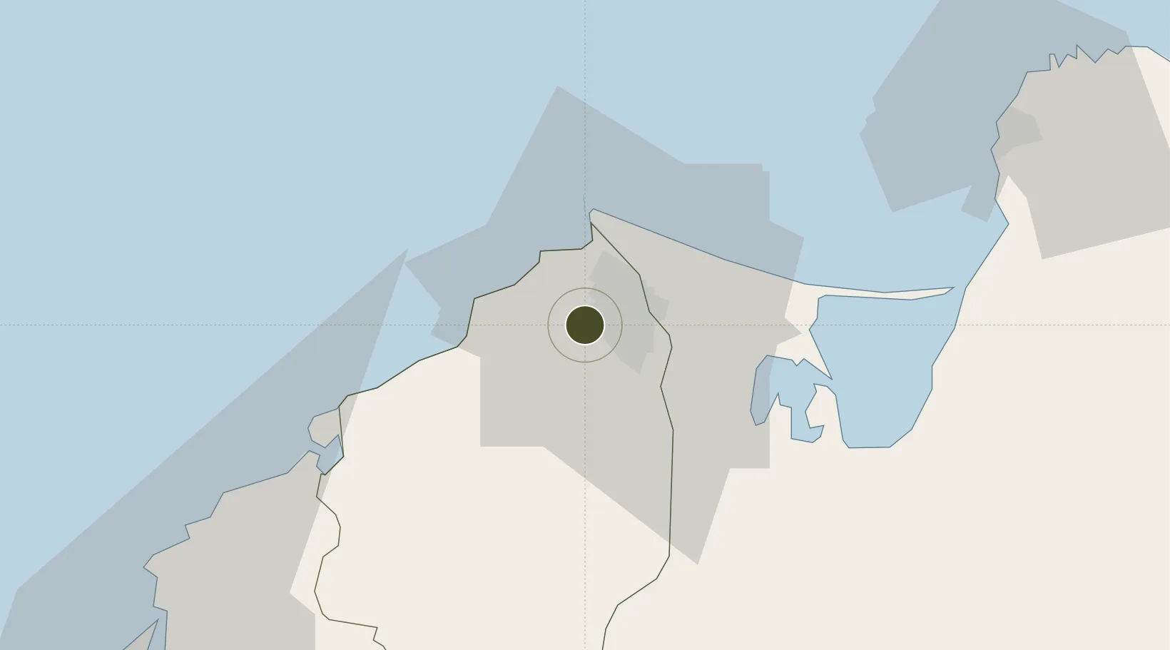
10.9339°, -74.8565°
120 ha
Zone area
10.5 km
Nearest port
9.6 km
Nearest airport

Gateway access

Nearest neighbours — logibook spatial index (haversine) over the source coordinates

Zone profile

Zone type
Free Industrial Zone
the World Bank SEZ database
Region
Atlántico
the World Bank SEZ database
Status
Active
the World Bank SEZ database
Established
2012
the World Bank SEZ database
Management
Private management
the World Bank SEZ database
Operator
Zofia S.A.
the World Bank SEZ database
Regulatory authority
Comision Intersectorial de Zonas Francas
the World Bank SEZ database
Legal framework
Law 1004/2005 Decree 383 and 4051
the World Bank SEZ database

Location

Location of COL21
Natural Earth 10m (public domain) · Atlántico · COL21 · 10.93, -74.86GoogleOSMYandex

Fiscal & incentives

Corporate tax
25%
the World Bank SEZ database
Tax relief
Reduced fixed-rate at 20%
the World Bank SEZ database
Relief duration
Perpetual
the World Bank SEZ database
VAT
No exemption
the World Bank SEZ database
Import duty (inputs)
100% exempt
the World Bank SEZ database
Import duty (capex)
100% exempt
the World Bank SEZ database
Profit repatriation
No exemption
the World Bank SEZ database
Capital gains
No exemption
the World Bank SEZ database
Withholding tax
No exemption
the World Bank SEZ database
Min. investment
$0 - $2.4M in first three years depending on size of company assets
the World Bank SEZ database
Min. export
0%
the World Bank SEZ database
Employment incentive
No exemption
the World Bank SEZ database
Developer incentive
Yes
the World Bank SEZ database

Nearby Logistics Neighbours

Ports
  1. 1Barranquilla11 km
  2. 2Pozos Colorados70 km
  3. 3Puerto Prodeco74 km
  4. 4Santa Marta78 km
  5. 5Cartagena94 km
Nearest neighbours — logibook spatial index (haversine) over the source coordinates
Airports
  1. 1Ernesto Cortissoz International Airport10 km
  2. 2Simón Bolívar International Airport71 km
  3. 3Rafael Nuñez International Airport90 km
  4. 4Golfo de Morrosquillo Airport177 km
  5. 5Baracoa Airport183 km
Nearest neighbours — logibook spatial index (haversine) over the source coordinates
Cities
  1. 1Galapa5 km
  2. 2Barranquilla11 km
  3. 3Puerto Colombia13 km
  4. 4Puerto Bolívar31 km
  5. 5Santa Marta78 km
Nearest neighbours — logibook spatial index (haversine) over the source coordinates
Trade Zones
  1. 1La Cayena Free Trade Zone6 km
  2. 2Clinica Portoazul9 km
  3. 3Barranquilla Free Trade Zone11 km
  4. 4Zona Franca Palermo12 km
  5. 5Tayrona Free Trade Zone78 km
Nearest neighbours — logibook spatial index (haversine) over the source coordinates
DatabookThe Record of Consolidated Knowledge
Colombia beyond logistics?
Browse databook

All Sources

Trade Zonesthe World Bank SEZ database
CC BY 4.0
Portsthe NGA World Port Index
Public domain (US gov)
AirportsOurAirports
Public domain
LocationsUN/LOCODE
UN/LOCODE — free
← Colombia trade zones