Specialized Zone · Colombia

Clinica Portoazul Active
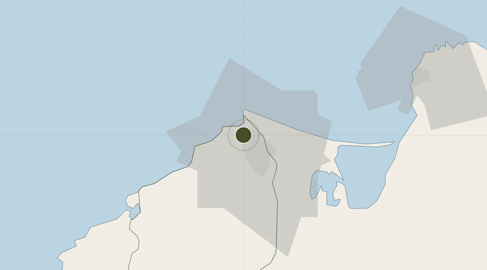
11.0157°, -74.8469°
10.3 km
Nearest port
15.8 km
Nearest airport

Gateway access

Nearest neighbours — logibook spatial index (haversine) over the source coordinates

Zone profile

Zone type
Specialized Zone
Open Zone Map
Specialization
Medical
Open Zone Map
Region
Atlántico
Open Zone Map
Status
Active
Open Zone Map
Management
Private
Open Zone Map
Operator
La Clinica Portoazul, SA
Open Zone Map
Legal framework
Law 1004/2005 Decree 383 and 4051
Open Zone Map

Location

Location of ozm-1676
Natural Earth 10m (public domain) · Atlántico · ozm-1676 · 11.02, -74.85GoogleOSMYandex

Nearby Logistics Neighbours

Ports
  1. 1Barranquilla10 km
  2. 2Pozos Colorados67 km
  3. 3Puerto Prodeco70 km
  4. 4Santa Marta74 km
  5. 5Cartagena100 km
Nearest neighbours — logibook spatial index (haversine) over the source coordinates
Airports
  1. 1Ernesto Cortissoz International Airport16 km
  2. 2Simón Bolívar International Airport68 km
  3. 3Rafael Nuñez International Airport97 km
  4. 4Golfo de Morrosquillo Airport186 km
  5. 5Alfonso López Pumarejo Airport186 km
Nearest neighbours — logibook spatial index (haversine) over the source coordinates
Cities
  1. 1Barranquilla11 km
  2. 2Puerto Colombia11 km
  3. 3Galapa14 km
  4. 4Puerto Bolívar39 km
  5. 5Santa Marta74 km
Nearest neighbours — logibook spatial index (haversine) over the source coordinates
Trade Zones
  1. 1Atlantico International Free Trade Zone9 km
  2. 2La Cayena Free Trade Zone10 km
  3. 3Barranquilla Free Trade Zone11 km
  4. 4Zona Franca Palermo12 km
  5. 5Tayrona Free Trade Zone74 km
Nearest neighbours — logibook spatial index (haversine) over the source coordinates
DatabookThe Record of Consolidated Knowledge
Colombia beyond logistics?
Browse databook

All Sources

Trade ZonesOpen Zone Map
CC BY
Portsthe NGA World Port Index
Public domain (US gov)
AirportsOurAirports
Public domain
LocationsUN/LOCODE
UN/LOCODE — free
← Colombia trade zones