UN/LOCODE hub · China
CNSHK

Shekou Pt

22.4893°, 113.8971°
1
Transport functions
4
Container terminals

Transport Functions

Port
Shekou Pt is also a profiled seaport →
UN/LOCODE

Hub Profile

Region
GD
GeoNames
Logistics facilities
44
UN/LOCODE
Container terminals
4
UN/LOCODE

Location

Location of CNSHK
Natural Earth 10m (public domain) · GD · CNSHK · 22.49, 113.90GoogleOSMYandex

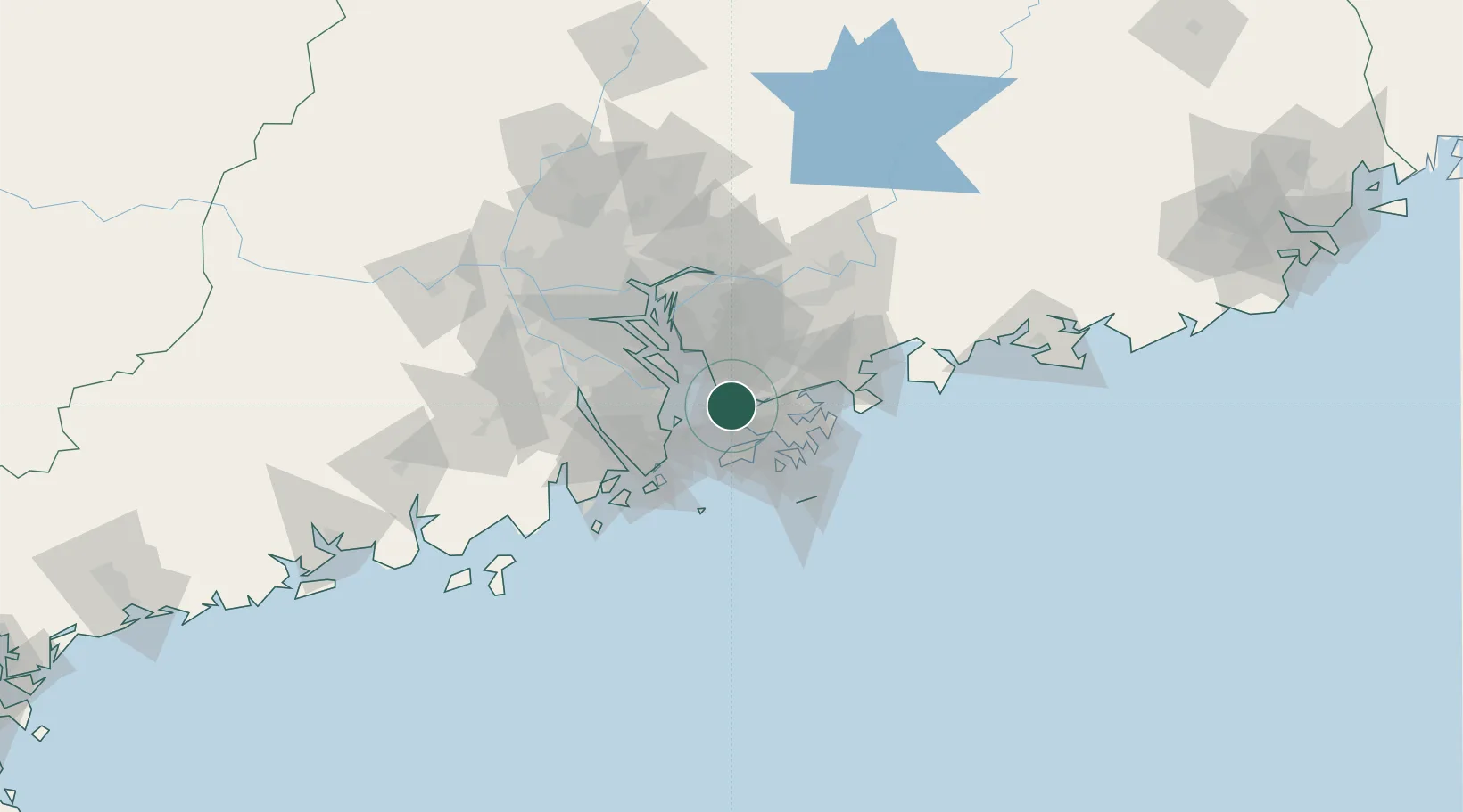
Nearby Logistics Neighbours

Cities
  1. 1Shenzhen Pt1 km
  2. 2Chiwan Pt2 km
  3. 3DA CHAN BAY9 km
  4. 4Humen Pt11 km
  5. 5Mawan Pt16 km
Nearest neighbours — logibook spatial index (haversine) over the source coordinates
Ports
  1. 1Yantian39 km
  2. 2Hong Kong40 km
  3. 3Zhuhai43 km
  4. 4Macau48 km
  5. 5Huizhou68 km
Nearest neighbours — logibook spatial index (haversine) over the source coordinates
Airports
  1. 1Shenzhen Bao'an International Airport19 km
  2. 2Shek Kong Air Base20 km
  3. 3Hong Kong International Airport20 km
  4. 4Shun Tak Heliport34 km
  5. 5Macau International Airport49 km
Nearest neighbours — logibook spatial index (haversine) over the source coordinates
Trade Zones
  1. 1Yuehai Equipment Industrial Park8 km
  2. 2Shatoujiao Free Trade Zone37 km
  3. 3Guangzhou Nansha Export Processing Zone40 km
  4. 4Yantian Free Trade Zone40 km
  5. 5Zhongshan Industrial Park44 km
Nearest neighbours — logibook spatial index (haversine) over the source coordinates
DatabookThe Record of Consolidated Knowledge
China beyond logistics?
Browse databook

All Sources

LocationsUN/LOCODE
UN/LOCODE — free
Portsthe NGA World Port Index
Public domain (US gov)
AirportsOurAirports
Public domain
Trade Zonesthe World Bank SEZ database
CC BY 4.0
Trade ZonesOpen Zone Map
CC BY
← China locations