UN/LOCODE hub · China
CNDCB

DA CHAN BAY

22.5588°, 113.8545°
927
Population
2
Transport functions
1
Container terminals

Transport Functions

Port
Multimodal
UN/LOCODE

Hub Profile

Place type
Populated place
GeoNames
Region
Guangdong
GeoNames
Population
927
GeoNames
Time zone
Asia/Shanghai
GeoNames
Logistics facilities
11
UN/LOCODE
Container terminals
1
UN/LOCODE

Location

Location of CNDCB
Natural Earth 10m (public domain) · Guangdong · CNDCB · 22.56, 113.85GoogleOSMYandex

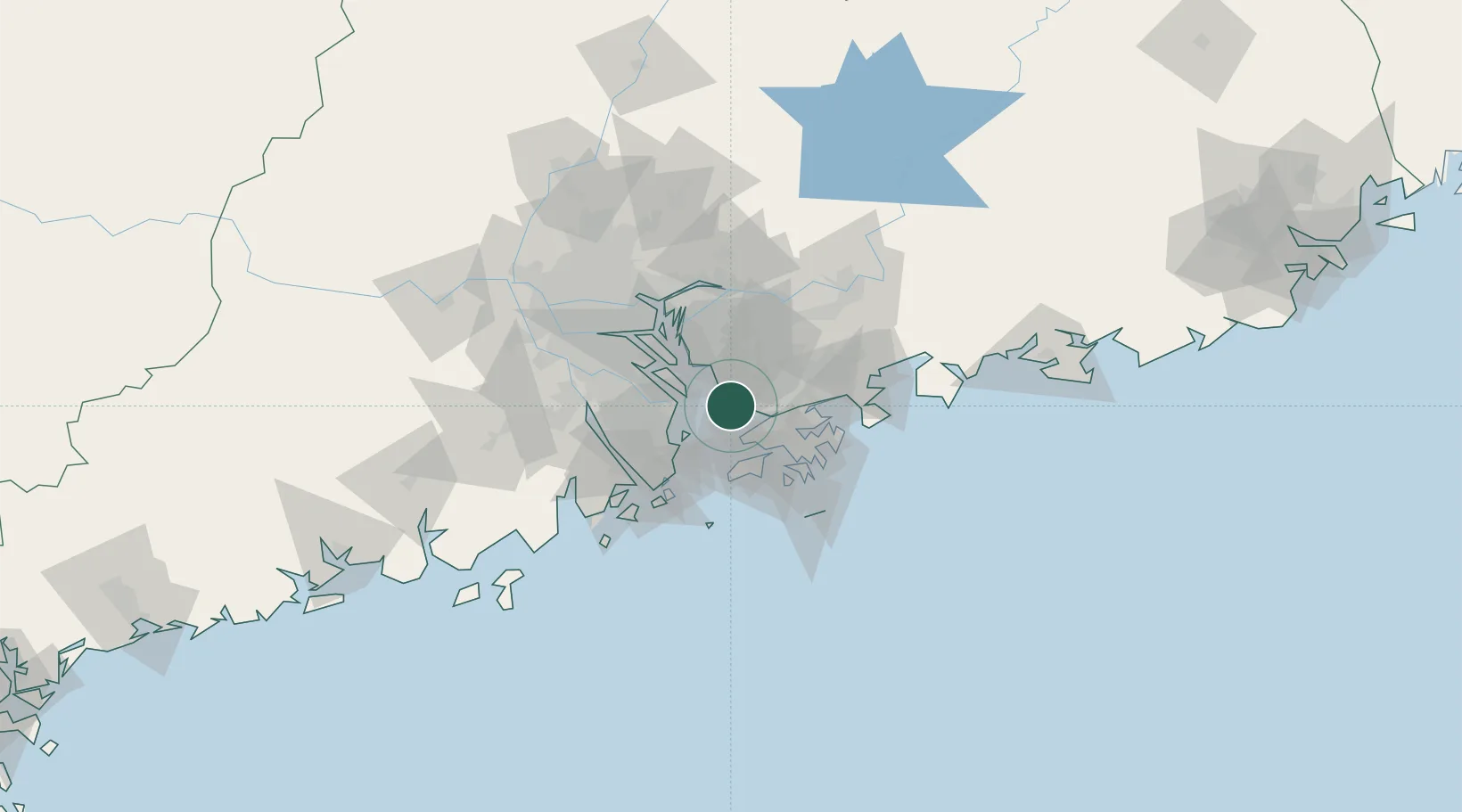
Nearby Logistics Neighbours

Cities
  1. 1Humen Pt2 km
  2. 2Shekou Pt9 km
  3. 3Chiwan Pt9 km
  4. 4Shenzhen Pt9 km
  5. 5Fuyong13 km
Nearest neighbours — logibook spatial index (haversine) over the source coordinates
Ports
  1. 1Shekou10 km
  2. 2Yantian42 km
  3. 3Zhuhai46 km
  4. 4Hong Kong48 km
  5. 5Macau51 km
Nearest neighbours — logibook spatial index (haversine) over the source coordinates
Airports
  1. 1Shenzhen Bao'an International Airport10 km
  2. 2Shek Kong Air Base27 km
  3. 3Hong Kong International Airport28 km
  4. 4Shun Tak Heliport43 km
  5. 5Macau International Airport53 km
Nearest neighbours — logibook spatial index (haversine) over the source coordinates
Trade Zones
  1. 1Yuehai Equipment Industrial Park10 km
  2. 2Guangzhou Nansha Export Processing Zone32 km
  3. 3Zhongshan Industrial Park39 km
  4. 4Shatoujiao Free Trade Zone41 km
  5. 5Dongguan Water Town Development Zone41 km
Nearest neighbours — logibook spatial index (haversine) over the source coordinates
DatabookThe Record of Consolidated Knowledge
China beyond logistics?
Browse databook

All Sources

LocationsUN/LOCODE
UN/LOCODE — free
LocationsGeoNames
CC BY 4.0
Portsthe NGA World Port Index
Public domain (US gov)
AirportsOurAirports
Public domain
Trade Zonesthe World Bank SEZ database
CC BY 4.0
Trade ZonesOpen Zone Map
CC BY
← China locations