UN/LOCODE hub · China
CNCGS

Changshu Pt

31.7037°, 120.9081°
1
Transport functions
1
Container terminals

Transport Functions

Port
Changshu Pt is also a profiled seaport →
UN/LOCODE

Hub Profile

Region
JS
GeoNames
Logistics facilities
6
UN/LOCODE
Container terminals
1
UN/LOCODE

Location

Location of CNCGS
Natural Earth 10m (public domain) · JS · CNCGS · 31.70, 120.91GoogleOSMYandex

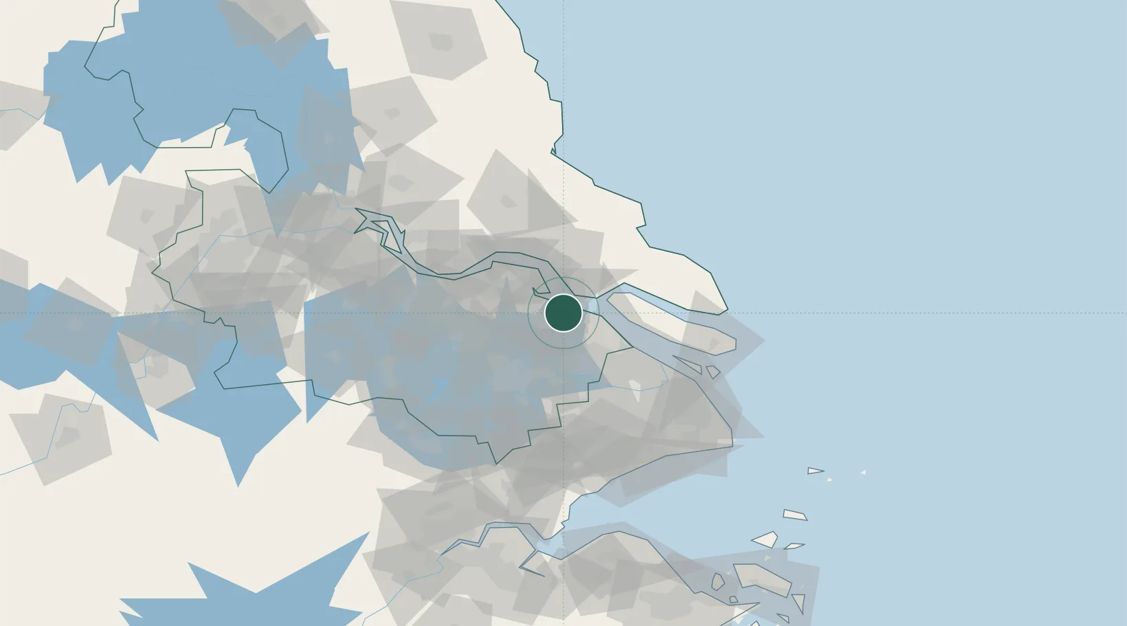
Nearby Logistics Neighbours

Cities
  1. 1Zouxiang23 km
  2. 2Nantong27 km
  3. 3Chongming29 km
  4. 4Taicang Pt29 km
  5. 5Kunshan40 km
Nearest neighbours — logibook spatial index (haversine) over the source coordinates
Ports
  1. 1Taicang28 km
  2. 2Nantong35 km
  3. 3Zhangjiangang56 km
  4. 4Jiangyin68 km
  5. 5Shanghai78 km
Nearest neighbours — logibook spatial index (haversine) over the source coordinates
Airports
  1. 1Nantong Xingdong International Airport42 km
  2. 2Sunan Shuofang International Airport51 km
  3. 3Chenghu General Airport56 km
  4. 4Shanghai Dachang Air Base64 km
  5. 5Suzhou Guangfu Airport69 km
Nearest neighbours — logibook spatial index (haversine) over the source coordinates
DatabookThe Record of Consolidated Knowledge
China beyond logistics?
Browse databook

All Sources

LocationsUN/LOCODE
UN/LOCODE — free
Portsthe NGA World Port Index
Public domain (US gov)
AirportsOurAirports
Public domain
Trade Zonesthe World Bank SEZ database
CC BY 4.0
Trade ZonesOpen Zone Map
CC BY
← China locations