Diversified Zone · China

Chongchuan Economic Development Zone Active
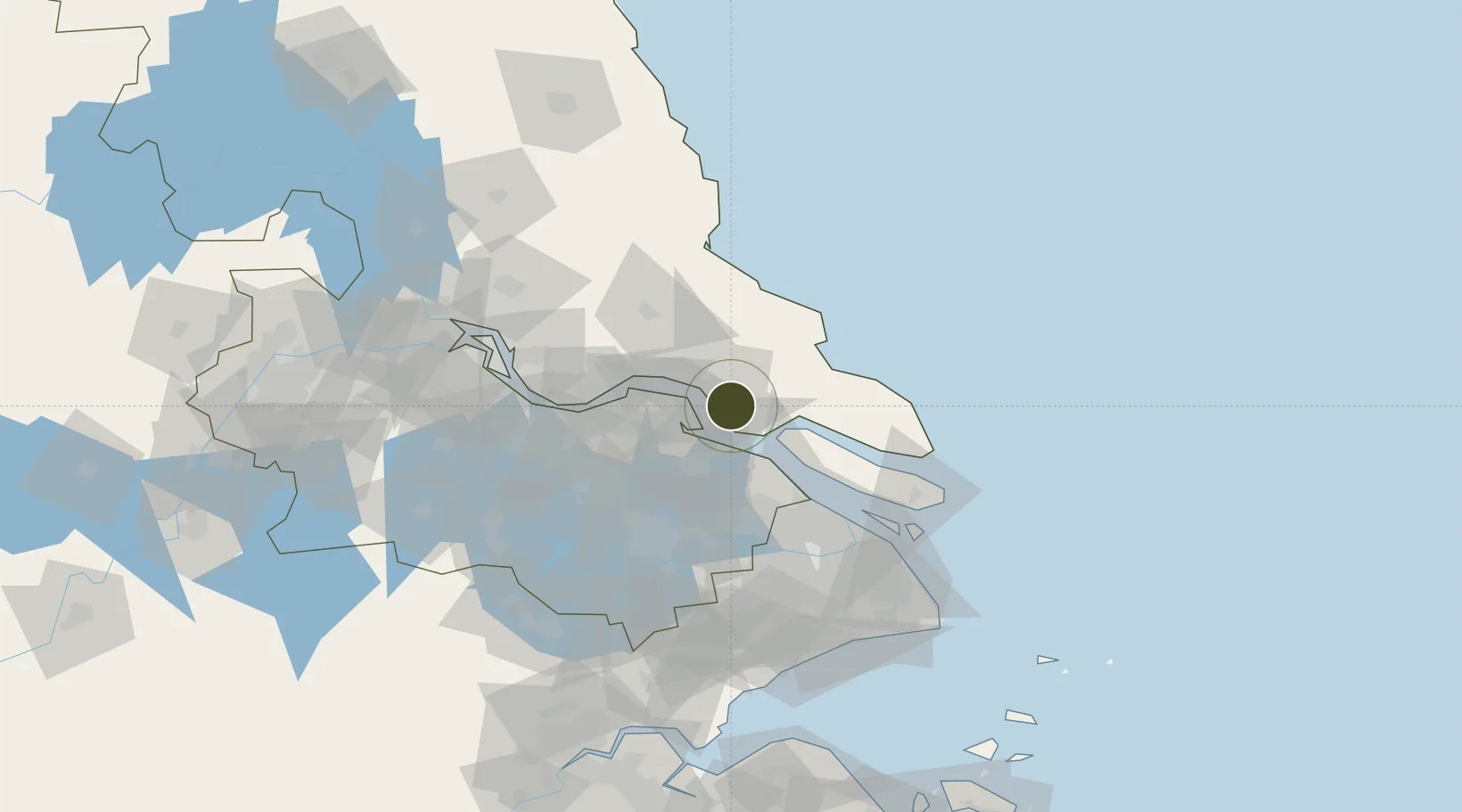
31.9386°, 120.9592°
2,586 ha
Zone area
16.5 km
Nearest port
15.1 km
Nearest airport

Gateway access

Nearest neighbours — logibook spatial index (haversine) over the source coordinates

Zone profile

Zone type
Diversified Zone
Open Zone Map
Region
Jiangsu
Open Zone Map
Status
Active
Open Zone Map
Management
Public
Open Zone Map
Operator
Management Commitiee
Open Zone Map
Legal framework
Founded in 1993.
Open Zone Map

Location

Location of ozm-857
Natural Earth 10m (public domain) · Jiangsu · ozm-857 · 31.94, 120.96GoogleOSMYandex

Nearby Logistics Neighbours

Ports
  1. 1Nantong17 km
  2. 2Changshu19 km
  3. 3Taicang39 km
  4. 4Zhangjiangang53 km
  5. 5Jiangyin69 km
Nearest neighbours — logibook spatial index (haversine) over the source coordinates
Airports
  1. 1Nantong Xingdong International Airport15 km
  2. 2Rugao Air Base56 km
  3. 3Sunan Shuofang International Airport70 km
  4. 4Shanghai Dachang Air Base81 km
  5. 5Chenghu General Airport82 km
Nearest neighbours — logibook spatial index (haversine) over the source coordinates
Cities
  1. 1Nantong4 km
  2. 2Changshu Pt27 km
  3. 3Rugao38 km
  4. 4Zouxiang41 km
  5. 5Chongming42 km
Nearest neighbours — logibook spatial index (haversine) over the source coordinates
Trade Zones
  1. 1Haimen Industrial Park16 km
  2. 2Gangzha Economic Development Zone17 km
  3. 3Changshu Economic Development Zone21 km
  4. 4Haimen Economic Development Zone25 km
  5. 5Jiangsu Changshu Southeast Economic Development Zone40 km
Nearest neighbours — logibook spatial index (haversine) over the source coordinates
DatabookThe Record of Consolidated Knowledge
China beyond logistics?
Browse databook

All Sources

Trade ZonesOpen Zone Map
CC BY
Portsthe NGA World Port Index
Public domain (US gov)
AirportsOurAirports
Public domain
LocationsUN/LOCODE
UN/LOCODE — free
← China trade zones