UN/LOCODE hub · China
CNZXJ

Zouxiang

31.6667°, 120.6667°
1
Transport functions

Transport Functions

Multimodal
UN/LOCODE

Hub Profile

Place type
Farm village
GeoNames
Region
Jiangsu
GeoNames
Time zone
Asia/Shanghai
GeoNames
Elevation
9 m
GeoNames

Location

Location of CNZXJ
Natural Earth 10m (public domain) · Jiangsu · CNZXJ · 31.67, 120.67GoogleOSMYandex

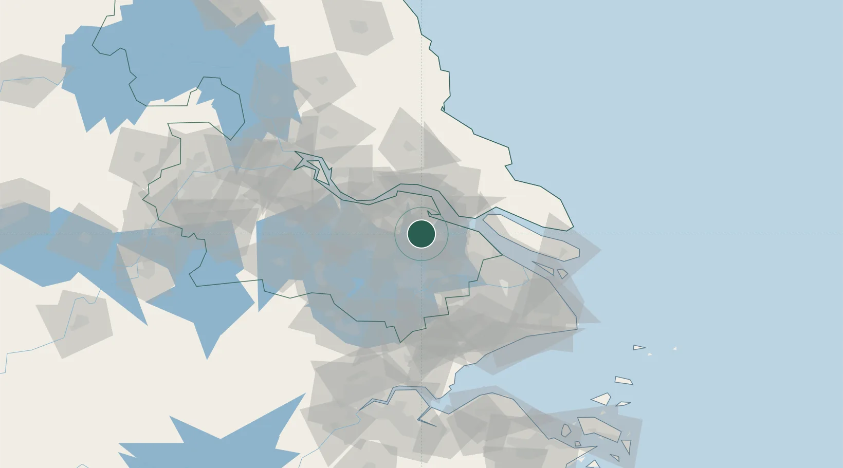
Nearby Logistics Neighbours

Cities
  1. 1Changshu Pt23 km
  2. 2Zhangjiagang37 km
  3. 3Nantong39 km
  4. 4Suzhou41 km
  5. 5Rugao42 km
Nearest neighbours — logibook spatial index (haversine) over the source coordinates
Ports
  1. 1Changshu29 km
  2. 2Nantong39 km
  3. 3Zhangjiangang42 km
  4. 4Jiangyin50 km
  5. 5Taicang51 km
Nearest neighbours — logibook spatial index (haversine) over the source coordinates
Airports
  1. 1Sunan Shuofang International Airport29 km
  2. 2Suzhou Guangfu Airport52 km
  3. 3Chenghu General Airport52 km
  4. 4Nantong Xingdong International Airport54 km
  5. 5Rugao Air Base68 km
Nearest neighbours — logibook spatial index (haversine) over the source coordinates
DatabookThe Record of Consolidated Knowledge
China beyond logistics?
Browse databook

All Sources

LocationsUN/LOCODE
UN/LOCODE — free
Portsthe NGA World Port Index
Public domain (US gov)
AirportsOurAirports
Public domain
Trade Zonesthe World Bank SEZ database
CC BY 4.0
Trade ZonesOpen Zone Map
CC BY
← China locations