Transport Functions
Port
Airport
Hub Profile
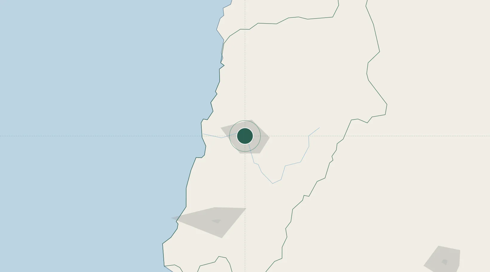
Place type
Regional capital
Region
Atacama
Population
129,280
Time zone
America/Santiago
Elevation
381 m
Location
Nearby Logistics Neighbours
Cities
- 1Tierra Amarilla16 km
- 2Caldera58 km
- 3Calderilla59 km
- 4Chañaral115 km
- 5Barquito115 km
Ports
- 1Puerto Caldera60 km
- 2Puerto Calderilla61 km
- 3Puerto Chanaral116 km
- 4Huasco153 km
- 5Taltal217 km
Airports
- 1Desierto de Atacama Airport45 km
- 2Chañaral Airport116 km
- 3Ricardo García Posada Airport129 km
- 4Vallenar Airport145 km
- 5Las Breas Airport199 km
Trade Zones
- 1Zona Franca Tucuman Free Trade Zone514 km
- 2Zona Franca de Salta605 km
- 3Zona Franca Mendoza Free Trade Zone649 km
- 4Córdoba Free Trade Zone740 km
- 5Iquique Free Trade Zone795 km
DatabookThe Record of Consolidated Knowledge
Chile beyond logistics?