UN/LOCODE hub · Chile
CLTAM
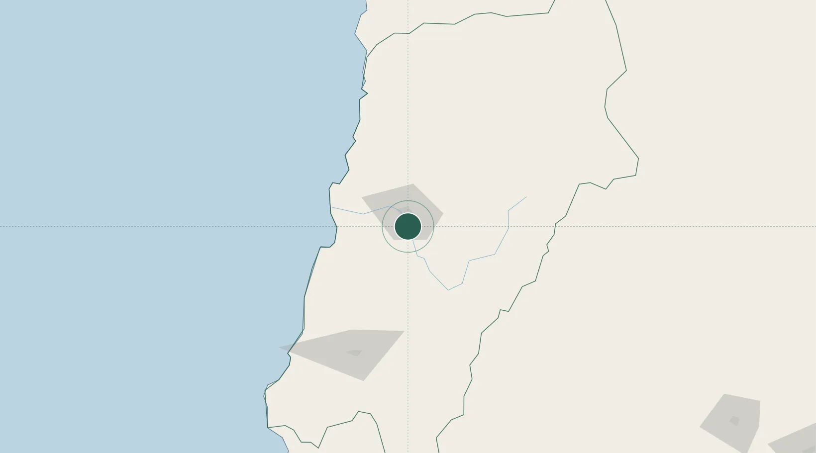
Tierra Amarilla
-27.4833°, -70.2833°
12,898
Population
2
Transport functions
Transport Functions
Rail
Road
Hub Profile
Place type
Populated place
Region
Atacama
Population
12,898
Time zone
America/Santiago
Elevation
501 m
Location
Nearby Logistics Neighbours
Cities
- 1Copiapó16 km
- 2Caldera72 km
- 3Calderilla72 km
- 4Vallenar129 km
- 5Chañaral130 km
Ports
- 1Puerto Caldera73 km
- 2Puerto Calderilla73 km
- 3Puerto Chanaral131 km
- 4Huasco145 km
- 5Taltal233 km
Airports
- 1Desierto de Atacama Airport55 km
- 2Chañaral Airport132 km
- 3Vallenar Airport132 km
- 4Ricardo García Posada Airport140 km
- 5Las Breas Airport214 km
Trade Zones
- 1Zona Franca Tucuman Free Trade Zone511 km
- 2Zona Franca de Salta608 km
- 3Zona Franca Mendoza Free Trade Zone633 km
- 4Córdoba Free Trade Zone727 km
- 5Iquique Free Trade Zone810 km
DatabookThe Record of Consolidated Knowledge
Chile beyond logistics?