UN/LOCODE hub · Chile
CLCGR

Cruz Grande

-29.4500°, -71.3000°
1
Transport functions

Transport Functions

Port
UN/LOCODE

Hub Profile

Region
CO
GeoNames

Location

Location of CLCGR
Natural Earth 10m (public domain) · CO · CLCGR · -29.45, -71.30GoogleOSMYandex

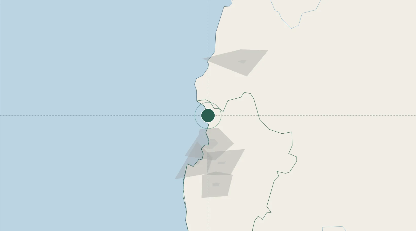
Nearby Logistics Neighbours

Cities
  1. 1La Serena49 km
  2. 2Coquimbo58 km
  3. 3Guayacán60 km
  4. 4Vicuña86 km
  5. 5Tongoy91 km
Nearest neighbours — logibook spatial index (haversine) over the source coordinates
Ports
  1. 1Coquimbo56 km
  2. 2Bahia Herradura Guayacan58 km
  3. 3Huasco109 km
  4. 4Puerto Calderilla267 km
  5. 5Puerto Caldera271 km
Nearest neighbours — logibook spatial index (haversine) over the source coordinates
Airports
  1. 1La Florida Airport53 km
  2. 2Vallenar Airport109 km
  3. 3Desierto de Atacama Airport249 km
  4. 4Chañaral Airport353 km
  5. 5Domingo Faustino Sarmiento Airport363 km
Nearest neighbours — logibook spatial index (haversine) over the source coordinates
Trade Zones
  1. 1Zona Franca Mendoza Free Trade Zone458 km
  2. 2Zona Franca Tucuman Free Trade Zone666 km
  3. 3Córdoba Free Trade Zone713 km
  4. 4Zona Franca de San Luis757 km
  5. 5Justo Daract Free Trade Zone757 km
Nearest neighbours — logibook spatial index (haversine) over the source coordinates
DatabookThe Record of Consolidated Knowledge
Chile beyond logistics?
Browse databook

All Sources

LocationsUN/LOCODE
UN/LOCODE — free
Portsthe NGA World Port Index
Public domain (US gov)
AirportsOurAirports
Public domain
Trade Zonesthe World Bank SEZ database
CC BY 4.0
Trade ZonesOpen Zone Map
CC BY
← Chile locations