Transport Functions
Rail
Road
Airport
Multimodal
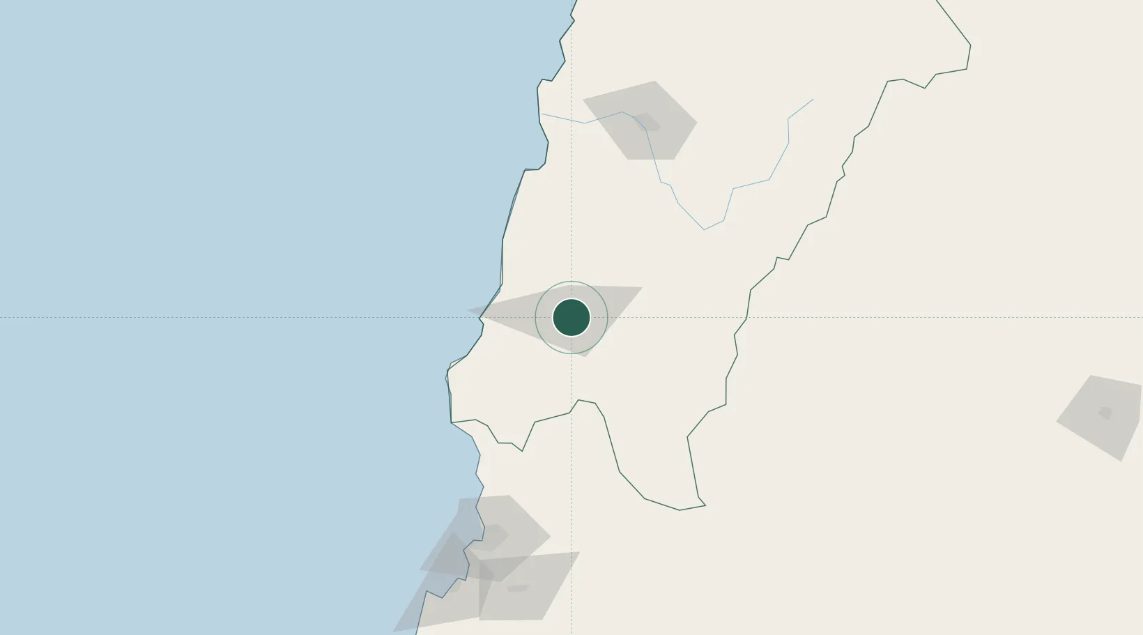
Hub Profile
Place type
Provincial seat
Region
Atacama
Population
44,895
Time zone
America/Santiago
Elevation
388 m
Location
Nearby Logistics Neighbours
Cities
- 1Freirina32 km
- 2Huasco47 km
- 3Cruz Grande112 km
- 4Tierra Amarilla129 km
- 5Copiapó141 km
Ports
- 1Huasco50 km
- 2Coquimbo164 km
- 3Puerto Calderilla165 km
- 4Bahia Herradura Guayacan167 km
- 5Puerto Caldera169 km
Airports
- 1Vallenar Airport3 km
- 2Desierto de Atacama Airport145 km
- 3La Florida Airport156 km
- 4Chañaral Airport249 km
- 5Ricardo García Posada Airport269 km
Trade Zones
- 1Zona Franca Mendoza Free Trade Zone528 km
- 2Zona Franca Tucuman Free Trade Zone581 km
- 3Córdoba Free Trade Zone702 km
- 4Zona Franca de Salta712 km
- 5Zona Franca de San Luis789 km
DatabookThe Record of Consolidated Knowledge
Chile beyond logistics?