Medium airport · Chile

La Florida AirportSCSE
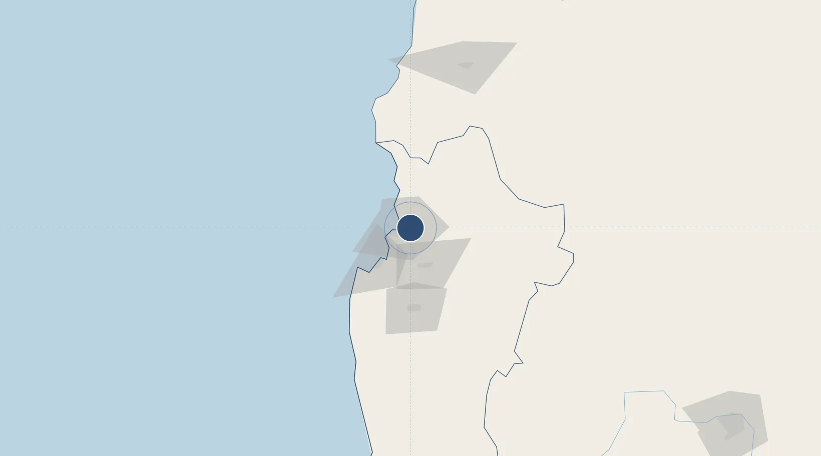
-29.9162°, -71.1995°
6,358 ft
Longest runway
1
Runways
481 ft
Elevation

Runway & Layout

La Florida Airport runway & taxiway layout
Runway & taxiway layout — OpenStreetMap (ODbL) / OurAirports

Radio Frequencies

TWR
118.6 MHz
LA SERENA TWR
GND
121.9 MHz
APP
128.1 MHz
SANTIAGO APP
RDO
127.3 MHz
OurAirports

Navaids

SER VOR-DME La Serena 116.50 MHz
SER NDB La Serena 305 kHz
OurAirports

Runways · 1

RunwayDimensions SurfaceTrue headingLit
12/30 6,358 × 148ft Asphalt 116°
OurAirports

Airport Specifications

IATA code
LSC
OurAirports
ICAO code
SCSE
OurAirports
Airport class
Medium airport
OurAirports
Scheduled service
Yes
OurAirports
Runway surface
Asphalt
OurAirports
Served city
La Serena-Coquimbo
OurAirports

Location

Location of SCSE
Natural Earth 10m (public domain) · Coquimbo · SCSE · -29.92, -71.20GoogleOSMYandex

Nearby Logistics Neighbours

Airports
  1. 1Vallenar Airport153 km
  2. 2Desierto de Atacama Airport298 km
  3. 3Domingo Faustino Sarmiento Airport323 km
  4. 4Viña del Mar Airport338 km
  5. 5Comodoro Arturo Merino Benítez International Airport389 km
Nearest neighbours — logibook spatial index (haversine) over the source coordinates
Cities
  1. 1La Serena5 km
  2. 2Coquimbo15 km
  3. 3Guayacán18 km
  4. 4Tongoy46 km
  5. 5Vicuña49 km
Nearest neighbours — logibook spatial index (haversine) over the source coordinates
Ports
  1. 1Coquimbo13 km
  2. 2Bahia Herradura Guayacan17 km
  3. 3Huasco161 km
  4. 4Puerto Calderilla317 km
  5. 5Bahia Quintero (Ventanas)319 km
Nearest neighbours — logibook spatial index (haversine) over the source coordinates
Trade Zones
  1. 1Zona Franca Mendoza Free Trade Zone409 km
  2. 2Zona Franca Tucuman Free Trade Zone680 km
  3. 3Córdoba Free Trade Zone689 km
  4. 4Zona Franca de San Luis716 km
  5. 5Justo Daract Free Trade Zone716 km
Nearest neighbours — logibook spatial index (haversine) over the source coordinates
DatabookThe Record of Consolidated Knowledge
Chile beyond logistics?
Browse databook

All Sources

AirportsOurAirports
Public domain
Portsthe NGA World Port Index
Public domain (US gov)
LocationsUN/LOCODE
UN/LOCODE — free
Trade Zonesthe World Bank SEZ database
CC BY 4.0
Trade ZonesOpen Zone Map
CC BY
InfrastructureOpenStreetMap
ODbL 1.0
← Chile airports