Transport Functions
Port
Road
Hub Profile
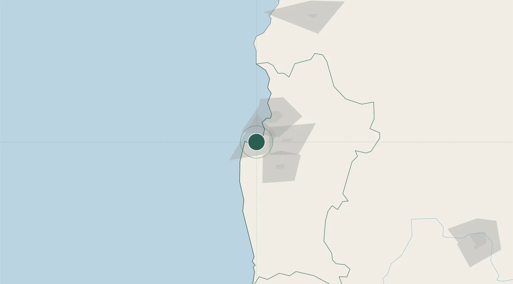
Place type
Urban district
Region
Coquimbo Region
Time zone
America/Santiago
Elevation
26 m
Location
Nearby Logistics Neighbours
Ports
- 1Bahia Herradura Guayacan33 km
- 2Coquimbo36 km
- 3Huasco200 km
- 4Bahia Quintero (Ventanas)280 km
- 5Bahia De Valparaiso310 km
Airports
- 1La Florida Airport46 km
- 2Vallenar Airport197 km
- 3Viña del Mar Airport300 km
- 4Domingo Faustino Sarmiento Airport327 km
- 5Desierto de Atacama Airport339 km
Trade Zones
DatabookThe Record of Consolidated Knowledge
Chile beyond logistics?