Channel & Berth Profile
Pilotage, Tugs & Services
Pilotage compulsoryYES
Pilotage availableYES
Tug assistanceYES
Salvage tugsNO
Potable waterYES
Diesel bunkersNO
MedicalYES
Garbage disposalNO
Facilities & Capabilities
Container—
Ro-Ro—
Liquid bulk—
Dry bulk—
Oil terminal—
Break bulk—
Dry dock—
RepairsNO
BunkeringYES
Rail linkYES
Dangerous cargo—
ISPS security—
Harbour Specifications
Harbour size
Very Small
Harbour type
Open Roadstead
Shelter
Fair
Water body
South Pacific Ocean
Tidal range
1.4 m
Overhead limit
Yes
Pilotage
Yes
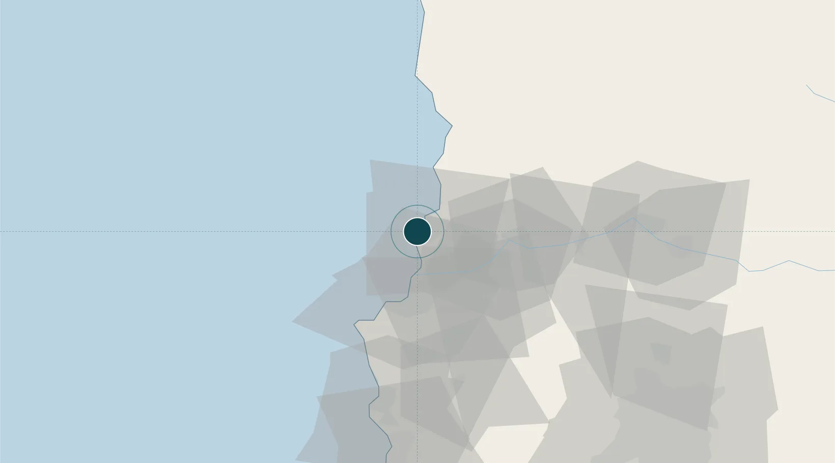
Location
Nearby Logistics Neighbours
Ports
- 1Bahia De Valparaiso31 km
- 2Puerto San Antonio91 km
- 3Bahia Herradura Guayacan312 km
- 4Coquimbo314 km
- 5Lirquen459 km
Cities
- 1Ventanas6 km
- 2Viña del Mar24 km
- 3Quillota28 km
- 4Quilpué31 km
- 5La Calera33 km
Airports
Trade Zones
DatabookThe Record of Consolidated Knowledge
Chile beyond logistics?