UN/LOCODE hub · Chile
CLCQQ
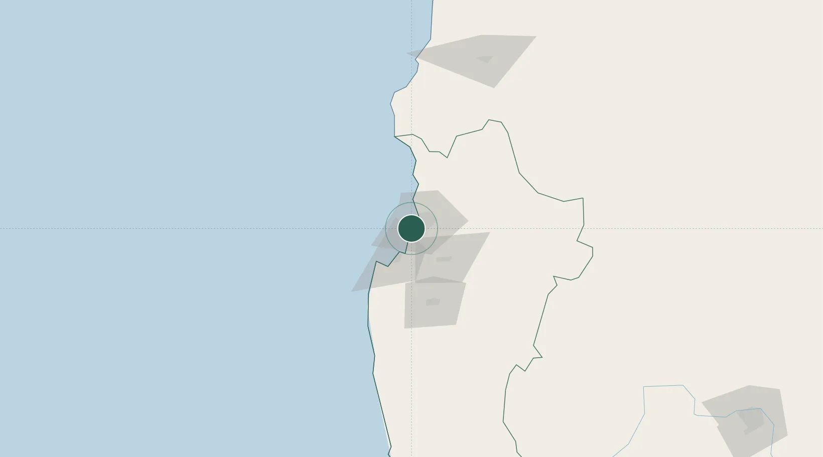
Coquimbo
-29.9704°, -71.3470°
161,317
Population
1
Transport functions
1
Container terminals
Transport Functions
Port
Hub Profile
Place type
Provincial seat
Region
Coquimbo Region
Population
161,317
Time zone
America/Santiago
Elevation
22 m
Logistics facilities
3
Container terminals
1
Location
Nearby Logistics Neighbours
Cities
- 1Guayacán2 km
- 2La Serena15 km
- 3Tongoy34 km
- 4Cruz Grande58 km
- 5Vicuña63 km
Ports
- 1Bahia Herradura Guayacan2 km
- 2Huasco168 km
- 3Bahia Quintero (Ventanas)311 km
- 4Puerto Calderilla324 km
- 5Puerto Caldera329 km
Airports
- 1La Florida Airport15 km
- 2Vallenar Airport163 km
- 3Desierto de Atacama Airport306 km
- 4Viña del Mar Airport332 km
- 5Domingo Faustino Sarmiento Airport332 km
Trade Zones
DatabookThe Record of Consolidated Knowledge
Chile beyond logistics?