Transport Functions
Rail
Road
Hub Profile
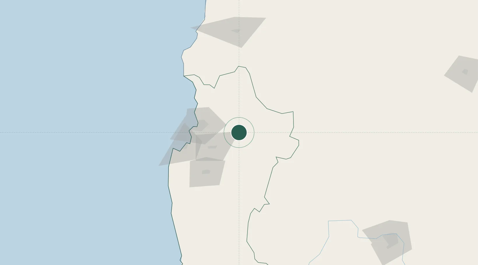
Place type
Populated place
Region
Coquimbo Region
Population
27,771
Time zone
America/Santiago
Elevation
616 m
Location
Nearby Logistics Neighbours
Ports
- 1Coquimbo61 km
- 2Bahia Herradura Guayacan64 km
- 3Huasco180 km
- 4Bahia Quintero (Ventanas)316 km
- 5Puerto Calderilla327 km
Airports
- 1La Florida Airport49 km
- 2Vallenar Airport158 km
- 3Domingo Faustino Sarmiento Airport278 km
- 4Desierto de Atacama Airport307 km
- 5Viña del Mar Airport334 km
Trade Zones
DatabookThe Record of Consolidated Knowledge
Chile beyond logistics?