Transport Functions
Port
Airport
Hub Profile
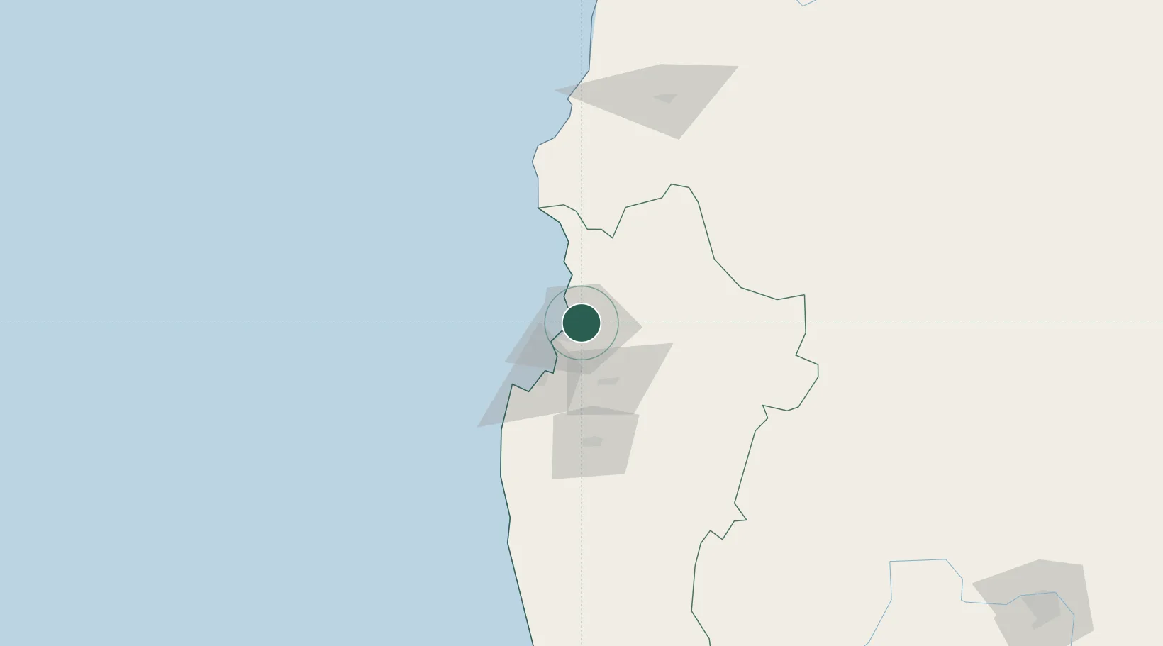
Place type
Regional capital
Region
Coquimbo Region
Population
154,521
Time zone
America/Santiago
Elevation
30 m
Location
Nearby Logistics Neighbours
Cities
- 1Coquimbo15 km
- 2Guayacán17 km
- 3Tongoy47 km
- 4Cruz Grande49 km
- 5Vicuña54 km
Ports
- 1Coquimbo12 km
- 2Bahia Herradura Guayacan16 km
- 3Huasco158 km
- 4Puerto Calderilla313 km
- 5Puerto Caldera318 km
Airports
- 1La Florida Airport5 km
- 2Vallenar Airport150 km
- 3Desierto de Atacama Airport295 km
- 4Domingo Faustino Sarmiento Airport328 km
- 5Viña del Mar Airport342 km
Trade Zones
DatabookThe Record of Consolidated Knowledge
Chile beyond logistics?