UN/LOCODE hub · Canada
CASJB

Saint-John

45.2640°, -66.0703°
71,808
Population
4
Transport functions
1
Container terminals

Transport Functions

Port
Road
Airport
Multimodal
Saint-John is also a profiled seaport →
UN/LOCODE

Hub Profile

Place type
Populated place
GeoNames
Region
New Brunswick
GeoNames
Population
71,808
GeoNames
Time zone
America/Moncton
GeoNames
Elevation
30 m
GeoNames
Logistics facilities
2
UN/LOCODE
Container terminals
1
UN/LOCODE

Location

Location of CASJB
Natural Earth 10m (public domain) · New Brunswick · CASJB · 45.26, -66.07GoogleOSMYandex

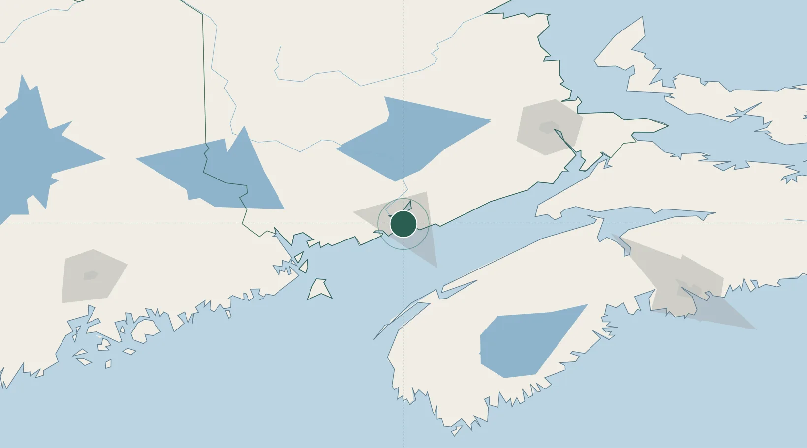
Nearby Logistics Neighbours

Cities
  1. 1Colchester County18 km
  2. 2Jemseg62 km
  3. 3Saint-George62 km
  4. 4Quispamsis64 km
  5. 5Oromocto70 km
Nearest neighbours — logibook spatial index (haversine) over the source coordinates
Ports
  1. 1Canaport (St. John)10 km
  2. 2Digby76 km
  3. 3Eastport82 km
  4. 4Lubec84 km
  5. 5Port Bayside Nb84 km
Nearest neighbours — logibook spatial index (haversine) over the source coordinates
Airports
  1. 1Saint John Airport15 km
  2. 2Fredericton International Airport76 km
  3. 3Digby / Annapolis Regional Airport83 km
  4. 4CFB Greenwood96 km
  5. 5Greater Moncton Roméo LeBlanc International Airport144 km
Nearest neighbours — logibook spatial index (haversine) over the source coordinates
Trade Zones
  1. 1Saint John1 km
  2. 2Halifax Gateway207 km
  3. 3FTZ No. 058 Bangor222 km
  4. 4FTZ No. 179 Madawaska284 km
  5. 5FTZ No. 186 Waterville297 km
Nearest neighbours — logibook spatial index (haversine) over the source coordinates
DatabookThe Record of Consolidated Knowledge
Canada beyond logistics?
Browse databook

All Sources

LocationsUN/LOCODE
UN/LOCODE — free
LocationsGeoNames
CC BY 4.0
Portsthe NGA World Port Index
Public domain (US gov)
AirportsOurAirports
Public domain
Trade Zonesthe World Bank SEZ database
CC BY 4.0
Trade ZonesOpen Zone Map
CC BY
← Canada locations