UN/LOCODE hub · Canada
CACCC

Colchester County

45.3833°, -65.9167°
1
Transport functions

Transport Functions

Multimodal
UN/LOCODE

Hub Profile

Region
NS
GeoNames

Location

Location of CACCC
Natural Earth 10m (public domain) · NS · CACCC · 45.38, -65.92GoogleOSMYandex

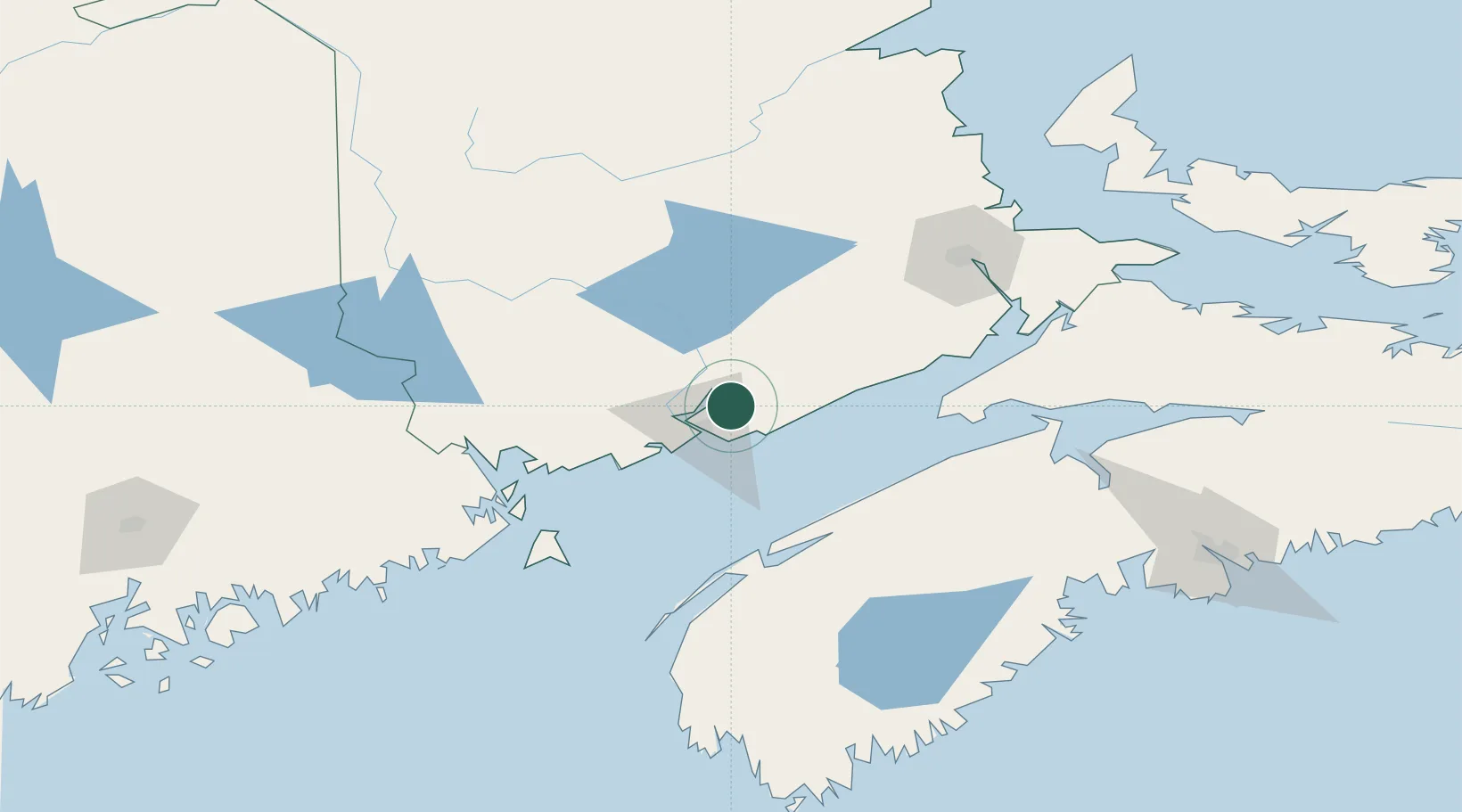
Nearby Logistics Neighbours

Cities
  1. 1Saint-John18 km
  2. 2Jemseg50 km
  3. 3Penobsquis61 km
  4. 4Quispamsis63 km
  5. 5Oromocto65 km
Nearest neighbours — logibook spatial index (haversine) over the source coordinates
Ports
  1. 1St John17 km
  2. 2Canaport (St. John)21 km
  3. 3Digby86 km
  4. 4Port Bayside Nb99 km
  5. 5Eastport99 km
Nearest neighbours — logibook spatial index (haversine) over the source coordinates
Airports
  1. 1Saint John Airport8 km
  2. 2Fredericton International Airport72 km
  3. 3CFB Greenwood90 km
  4. 4Digby / Annapolis Regional Airport94 km
  5. 5Greater Moncton Roméo LeBlanc International Airport126 km
Nearest neighbours — logibook spatial index (haversine) over the source coordinates
Trade Zones
  1. 1Saint John17 km
  2. 2Halifax Gateway201 km
  3. 3FTZ No. 058 Bangor236 km
  4. 4FTZ No. 179 Madawaska281 km
  5. 5FTZ No. 186 Waterville312 km
Nearest neighbours — logibook spatial index (haversine) over the source coordinates
DatabookThe Record of Consolidated Knowledge
Canada beyond logistics?
Browse databook

All Sources

LocationsUN/LOCODE
UN/LOCODE — free
Portsthe NGA World Port Index
Public domain (US gov)
AirportsOurAirports
Public domain
Trade Zonesthe World Bank SEZ database
CC BY 4.0
Trade ZonesOpen Zone Map
CC BY
← Canada locations