Medium airport · Canada
Port-Menier AirportCYPN
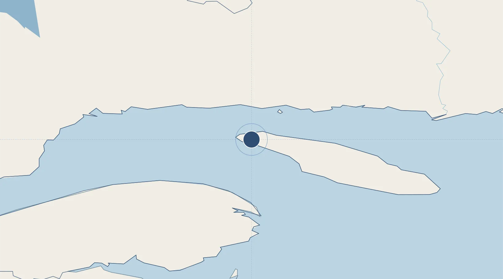
49.8364°, -64.2886°
4,886 ft
Longest runway
1
Runways
167 ft
Elevation
Runway & Layout

Radio Frequencies
UNIC
123.5 MHz
ATF/UNICOM
Navaids
PN NDB Port Menier 360 kHz
Runways · 1
| Runway | Dimensions | Surface | True heading | Lit |
|---|---|---|---|---|
| 11/29 | 4,886 × 150ft | Asphalt | 090° | ✓ |
Airport Specifications
IATA code
YPN
ICAO code
CYPN
Airport class
Medium airport
Scheduled service
Yes
Runway surface
Asphalt
Served city
Port-Menier
Location
Nearby Logistics Neighbours
Airports
- 1Havre-Saint-Pierre Airport69 km
- 2Michel-Pouliot Gaspé Airport119 km
- 3Sept-Îles Airport148 km
- 4Natashquan Airport183 km
- 5Bonaventure Airport214 km
Cities
- 1Port-Menier5 km
- 2Fox River (=riviere-Au-Renard)97 km
- 3Gaspé112 km
- 4Sandy Beach114 km
- 5Baie-Johan-Beetz116 km
Ports
- 1Havre St Pierre66 km
- 2Gaspe112 km
- 3Sept Iles155 km
- 4Pointe Noire161 km
- 5Port Cartier180 km
Trade Zones
- 1FTZ No. 179 Madawaska412 km
- 2Cape Breton Regional Municipality Foreign Trade Zone486 km
- 3Saint John525 km
- 4Halifax Gateway579 km
- 5Québec City FTZ614 km
DatabookThe Record of Consolidated Knowledge
Canada beyond logistics?