Medium airport · Canada
Baie-Comeau AirportCYBC
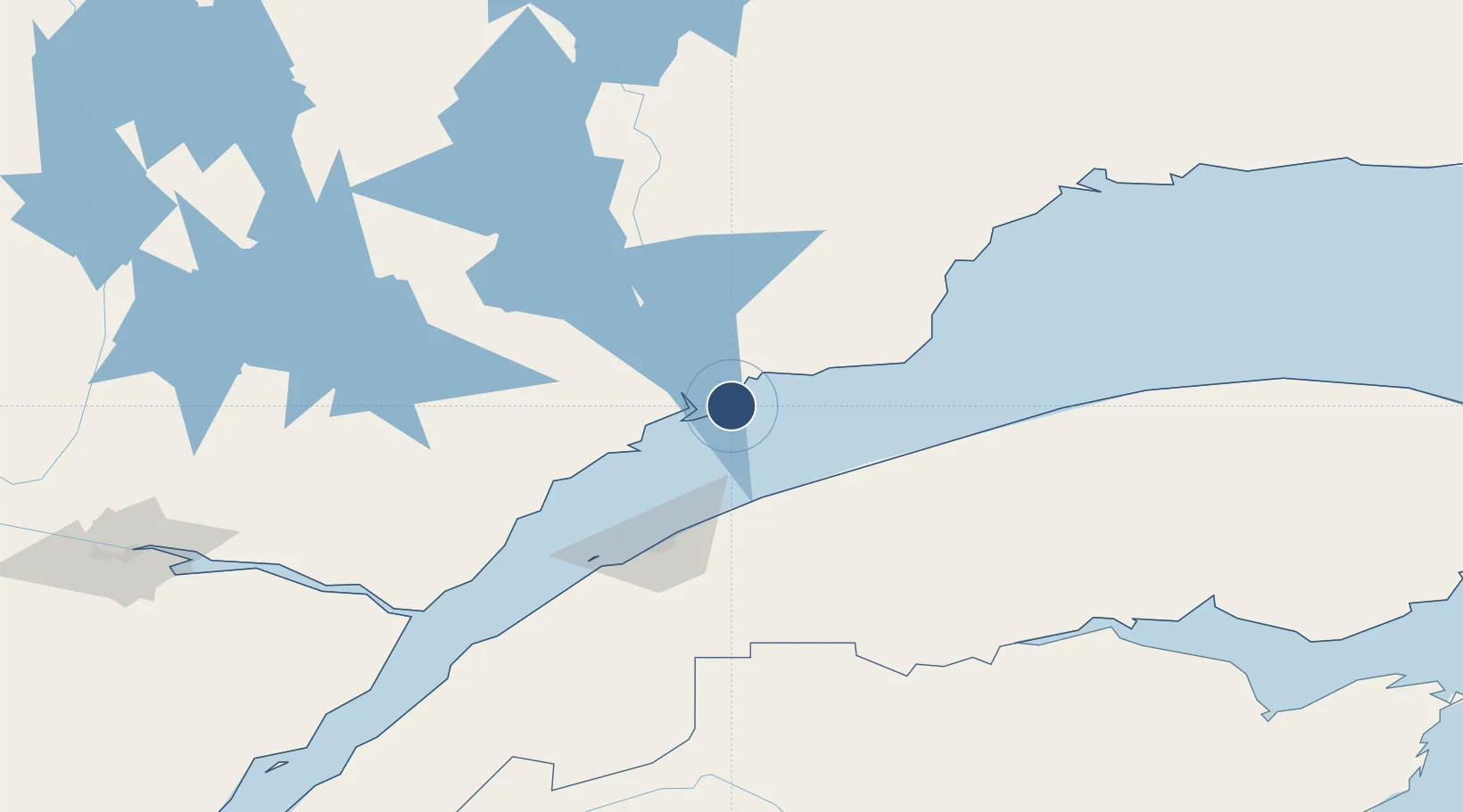
49.1325°, -68.2044°
6,000 ft
Longest runway
1
Runways
71 ft
Elevation
Runway & Layout

Radio Frequencies
A/D
134.65 MHz
MONTREAL CNTR
RCO
118.3 MHz
MONT JOLI RDO
RDO
118.3 MHz
MF MONT JOLI RDO
Navaids
BC NDB Baie Comeau 414 kHz
YBC VOR-DME Baie-Comeau 117.70 MHz
Runways · 1
| Runway | Dimensions | Surface | True heading | Lit |
|---|---|---|---|---|
| 10/28 | 6,000 × 150ft | Asphalt | 080° | ✓ |
Airport Specifications
IATA code
YBC
ICAO code
CYBC
Airport class
Medium airport
Scheduled service
Yes
Runway surface
Asphalt
Served city
Baie-Comeau
Location
Nearby Logistics Neighbours
Airports
- 1Mont Joli Airport58 km
- 2Matane Airport63 km
- 3Rimouski Airport76 km
- 4Forestville Airport78 km
- 5Rivière-du-Loup Airport183 km
Cities
- 1Les Mechins91 km
- 2Saint-Valérien95 km
- 3Cap-Chat111 km
- 4Les Escoumins124 km
- 5Sainte-Anne-des-Monts125 km
Ports
- 1Baie Comeau12 km
- 2Matane58 km
- 3Rimouski79 km
- 4Port Cartier143 km
- 5Pointe Noire169 km
Trade Zones
- 1FTZ No. 179 Madawaska206 km
- 2Québec City FTZ342 km
- 3Saint John458 km
- 4FTZ No. 058 Bangor483 km
- 5FTZ No. 186 Waterville523 km
DatabookThe Record of Consolidated Knowledge
Canada beyond logistics?