UN/LOCODE hub · Canada
CAREL

La Relance

50.1500°, -66.4500°
1
Transport functions

Transport Functions

Port
UN/LOCODE

Hub Profile

Region
QC
GeoNames

Location

Location of CAREL
Natural Earth 10m (public domain) · QC · CAREL · 50.15, -66.45GoogleOSMYandex

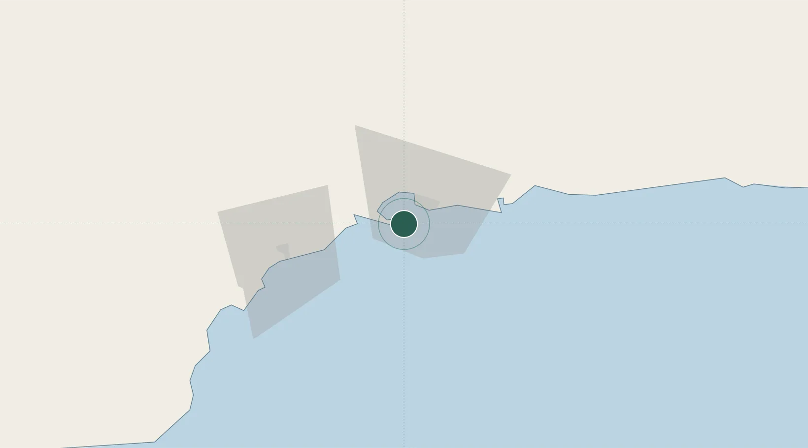
Nearby Logistics Neighbours

Cities
  1. 1Pointe Noire2 km
  2. 2Sept-Iles7 km
  3. 3Port-Cartier33 km
  4. 4Sainte-Anne-des-Monts115 km
  5. 5Mont-Louis115 km
Nearest neighbours — logibook spatial index (haversine) over the source coordinates
Ports
  1. 1Pointe Noire3 km
  2. 2Sept Iles7 km
  3. 3Port Cartier27 km
  4. 4Baie Comeau158 km
  5. 5Matane164 km
Nearest neighbours — logibook spatial index (haversine) over the source coordinates
Airports
  1. 1Sept-Îles Airport16 km
  2. 2Port-Menier Airport158 km
  3. 3Matane Airport161 km
  4. 4Baie-Comeau Airport170 km
  5. 5Havre-Saint-Pierre Airport203 km
Nearest neighbours — logibook spatial index (haversine) over the source coordinates
Trade Zones
  1. 1FTZ No. 179 Madawaska348 km
  2. 2Québec City FTZ511 km
  3. 3Saint John543 km
  4. 4Cape Breton Regional Municipality Foreign Trade Zone612 km
  5. 5FTZ No. 058 Bangor620 km
Nearest neighbours — logibook spatial index (haversine) over the source coordinates
DatabookThe Record of Consolidated Knowledge
Canada beyond logistics?
Browse databook

All Sources

LocationsUN/LOCODE
UN/LOCODE — free
Portsthe NGA World Port Index
Public domain (US gov)
AirportsOurAirports
Public domain
Trade Zonesthe World Bank SEZ database
CC BY 4.0
Trade ZonesOpen Zone Map
CC BY
← Canada locations