Medium airport · Canada
Sept-Îles AirportCYZV
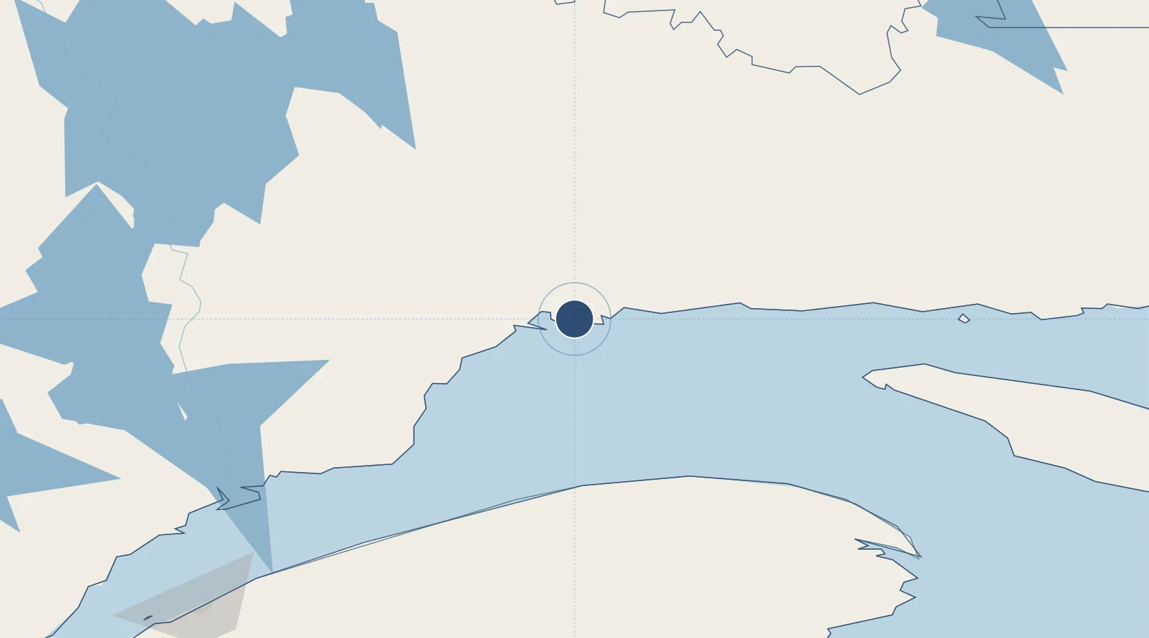
50.2233°, -66.2656°
6,552 ft
Longest runway
2
Runways
180 ft
Elevation
Runway & Layout

Radio Frequencies
ATIS
124.8 MHz
CNTR
135.55 MHz
MONTREAL CNTR
FSS
118.1 MHz
RDO
RCO
123.15 MHz
QUEBEC RDO
RDO
118.1 MHz
MF
Navaids
UZV TACAN Sept Iles 114.50 MHz
YZV VOR Sept Iles 114.50 MHz
ZV NDB Sept Iles 273 kHz
ZZV NDB Monoghan 354 kHz
Runways · 2
| Runway | Dimensions | Surface | True heading | Lit |
|---|---|---|---|---|
| 09/27 | 6,552 × 150ft | Asphalt | 070° | ✓ |
| 13/31 | 5,771 × 200ft | Asphalt | 110° | ✓ |
Airport Specifications
IATA code
YZV
ICAO code
CYZV
Airport class
Medium airport
Scheduled service
Yes
Runway surface
Asphalt
Served city
Sept-Îles
Location
Nearby Logistics Neighbours
Airports
- 1Port-Menier Airport148 km
- 2Matane Airport174 km
- 3Baie-Comeau Airport185 km
- 4Havre-Saint-Pierre Airport189 km
- 5Michel-Pouliot Gaspé Airport206 km
Cities
- 1Sept-Iles9 km
- 2La Relance16 km
- 3Pointe Noire18 km
- 4Port-Cartier49 km
- 5Mont-Louis118 km
Ports
- 1Sept Iles9 km
- 2Pointe Noire17 km
- 3Port Cartier43 km
- 4Baie Comeau174 km
- 5Matane178 km
Trade Zones
- 1FTZ No. 179 Madawaska361 km
- 2Québec City FTZ526 km
- 3Saint John551 km
- 4Cape Breton Regional Municipality Foreign Trade Zone608 km
- 5FTZ No. 058 Bangor632 km
DatabookThe Record of Consolidated Knowledge
Canada beyond logistics?