Transport Functions
Port
Hub Profile
Place type
Urban district
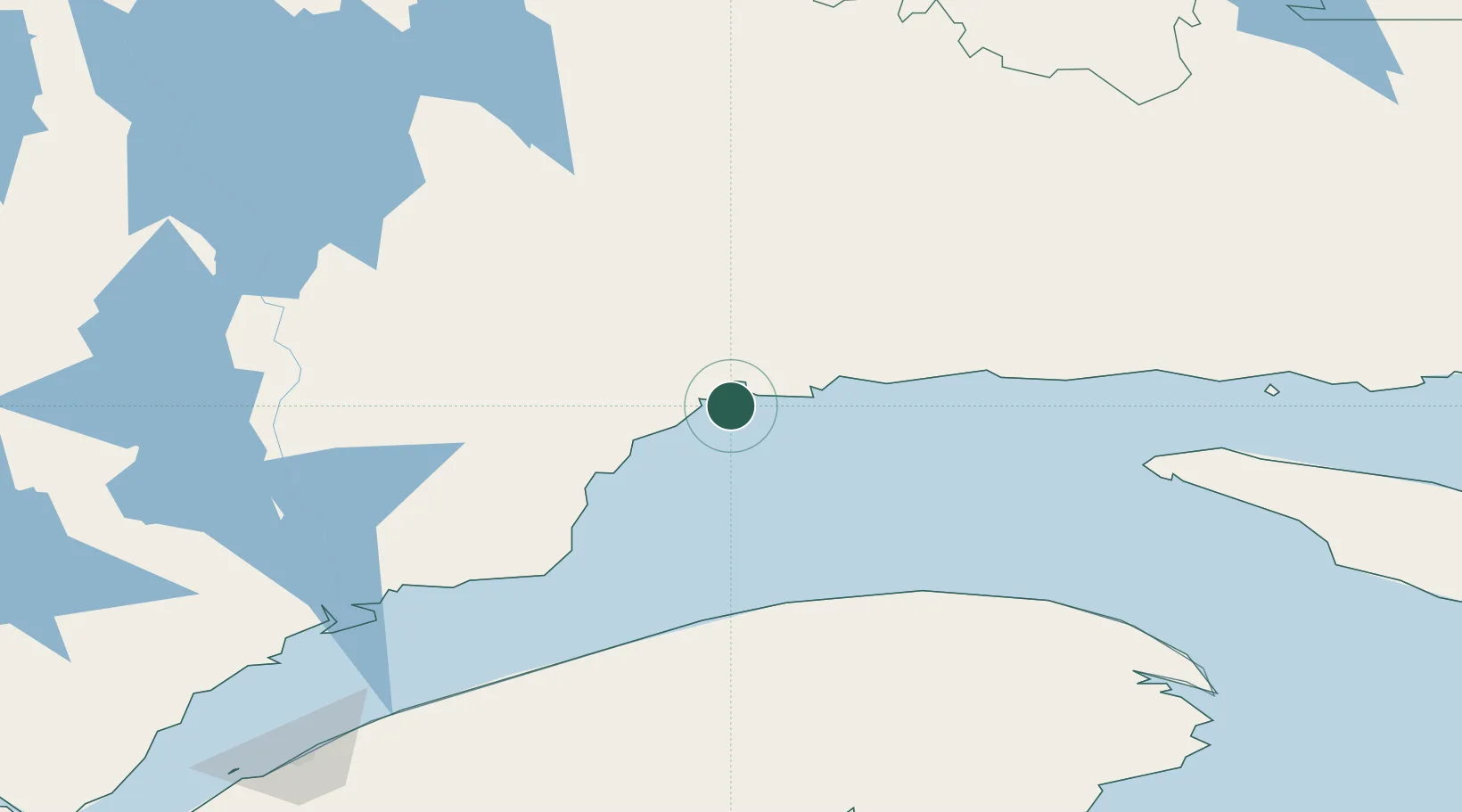
Region
Quebec
Time zone
America/Toronto
Elevation
28 m
Location
Nearby Logistics Neighbours
Cities
- 1La Relance2 km
- 2Sept-Iles9 km
- 3Port-Cartier31 km
- 4Sainte-Anne-des-Monts115 km
- 5Mont-Louis116 km
Ports
- 1Sept Iles9 km
- 2Port Cartier25 km
- 3Baie Comeau156 km
- 4Matane163 km
- 5Havre St Pierre206 km
Airports
- 1Sept-Îles Airport18 km
- 2Matane Airport160 km
- 3Port-Menier Airport161 km
- 4Baie-Comeau Airport168 km
- 5Havre-Saint-Pierre Airport205 km
Trade Zones
- 1FTZ No. 179 Madawaska347 km
- 2Québec City FTZ510 km
- 3Saint John543 km
- 4Cape Breton Regional Municipality Foreign Trade Zone614 km
- 5FTZ No. 058 Bangor619 km
DatabookThe Record of Consolidated Knowledge
Canada beyond logistics?