Transport Functions
Port
Hub Profile
Place type
Populated place
Region
Quebec
Population
6,516
Time zone
America/Toronto
Elevation
31 m
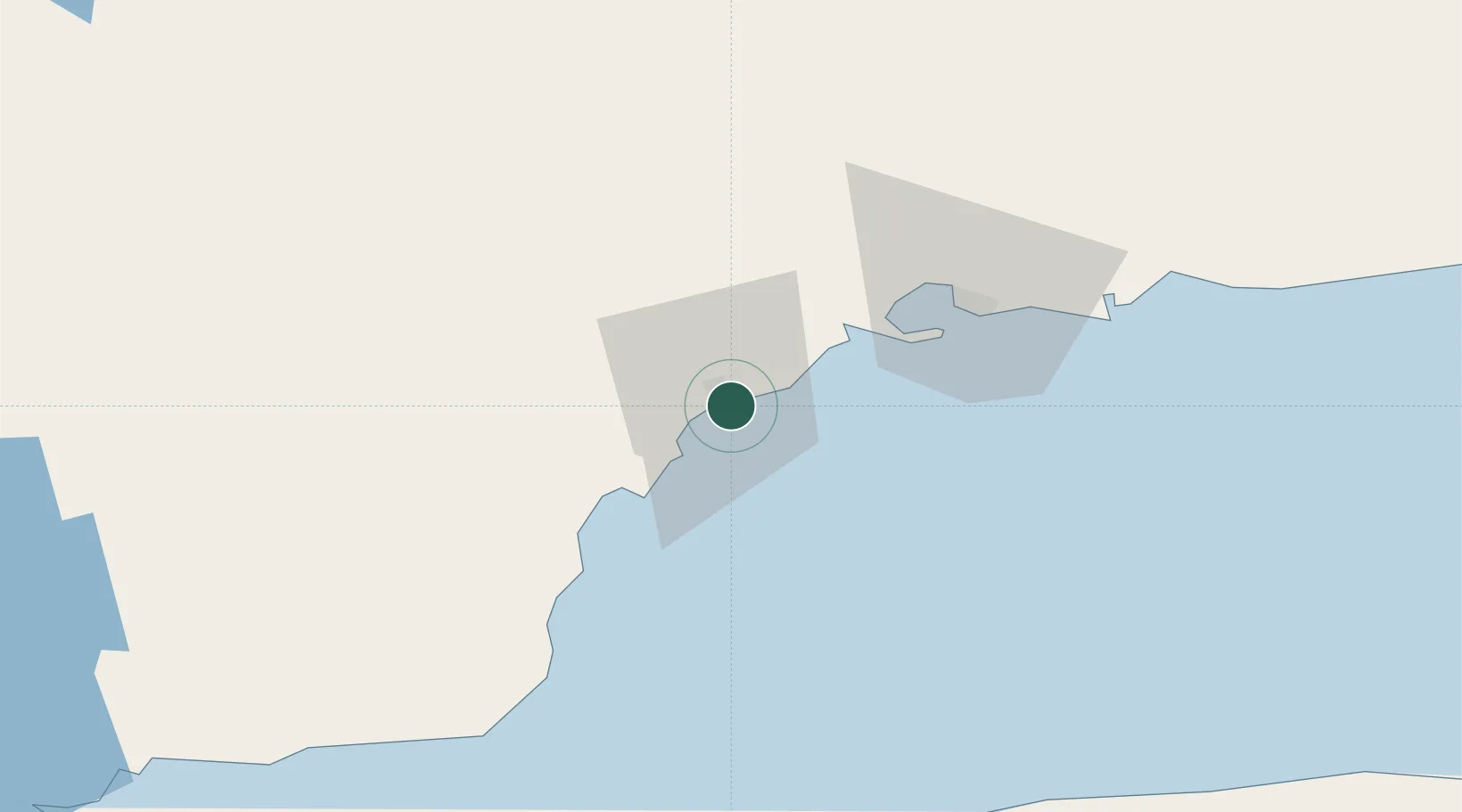
Location
Nearby Logistics Neighbours
Cities
- 1Pointe Noire31 km
- 2La Relance33 km
- 3Sept-Iles40 km
- 4Sainte-Anne-des-Monts104 km
- 5Cap-Chat105 km
Ports
- 1Pointe Noire32 km
- 2Sept Iles40 km
- 3Baie Comeau126 km
- 4Matane138 km
- 5Rimouski211 km
Airports
- 1Sept-Îles Airport49 km
- 2Matane Airport136 km
- 3Baie-Comeau Airport138 km
- 4Mont Joli Airport184 km
- 5Port-Menier Airport186 km
Trade Zones
- 1FTZ No. 179 Madawaska323 km
- 2Québec City FTZ480 km
- 3Saint John531 km
- 4FTZ No. 058 Bangor597 km
- 5Cape Breton Regional Municipality Foreign Trade Zone624 km
DatabookThe Record of Consolidated Knowledge
Canada beyond logistics?