UN/LOCODE hub · Canada
CASDM
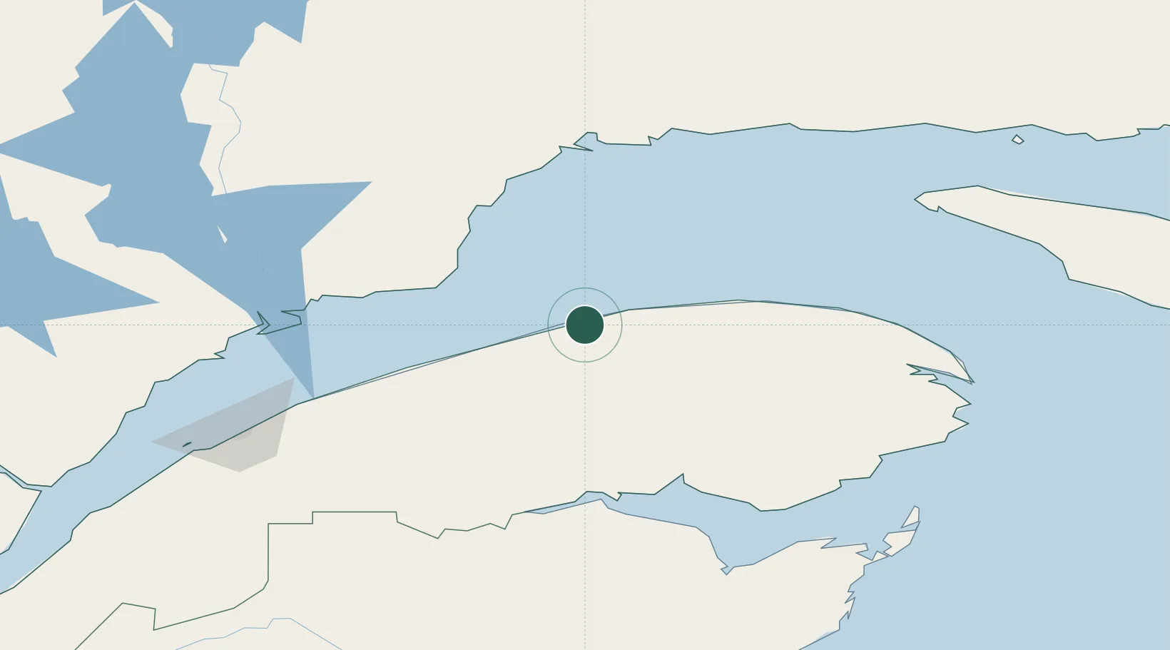
Sainte-Anne-des-Monts
49.1167°, -66.4833°
5,602
Population
2
Transport functions
Transport Functions
Port
Road
Hub Profile
Place type
Populated place
Region
Quebec
Population
5,602
Time zone
America/Toronto
Elevation
15 m
Location
Nearby Logistics Neighbours
Cities
- 1Cap-Chat15 km
- 2Les Mechins38 km
- 3Mont-Louis55 km
- 4Port-Cartier104 km
- 5Pointe Noire115 km
Ports
- 1Matane82 km
- 2Port Cartier104 km
- 3Pointe Noire117 km
- 4Dalhousie117 km
- 5Baie Comeau121 km
Airports
- 1Matane Airport76 km
- 2Sept-Îles Airport124 km
- 3Baie-Comeau Airport125 km
- 4Charlo Airport126 km
- 5Mont Joli Airport138 km
Trade Zones
- 1FTZ No. 179 Madawaska246 km
- 2Saint John428 km
- 3Québec City FTZ437 km
- 4FTZ No. 058 Bangor511 km
- 5Cape Breton Regional Municipality Foreign Trade Zone540 km
DatabookThe Record of Consolidated Knowledge
Canada beyond logistics?