Transport Functions
Port
Multimodal
Hub Profile
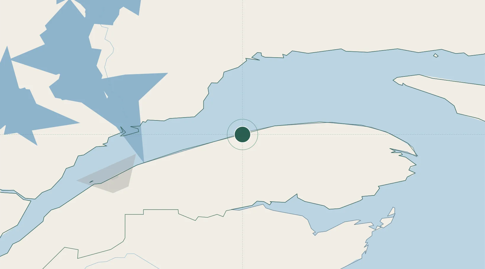
Place type
Populated place
Region
Quebec
Population
1,466
Time zone
America/Toronto
Elevation
19 m
Location
Nearby Logistics Neighbours
Cities
- 1Sainte-Anne-des-Monts15 km
- 2Les Mechins23 km
- 3Mont-Louis70 km
- 4Port-Cartier105 km
- 5Pointe Noire120 km
Ports
- 1Matane67 km
- 2Port Cartier106 km
- 3Baie Comeau107 km
- 4Dalhousie115 km
- 5Pointe Noire121 km
Airports
- 1Matane Airport62 km
- 2Baie-Comeau Airport111 km
- 3Mont Joli Airport123 km
- 4Charlo Airport124 km
- 5Sept-Îles Airport130 km
Trade Zones
- 1FTZ No. 179 Madawaska235 km
- 2Québec City FTZ423 km
- 3Saint John426 km
- 4FTZ No. 058 Bangor502 km
- 5Halifax Gateway546 km
DatabookThe Record of Consolidated Knowledge
Canada beyond logistics?