Medium airport · Canada
Mont Joli AirportCYYY
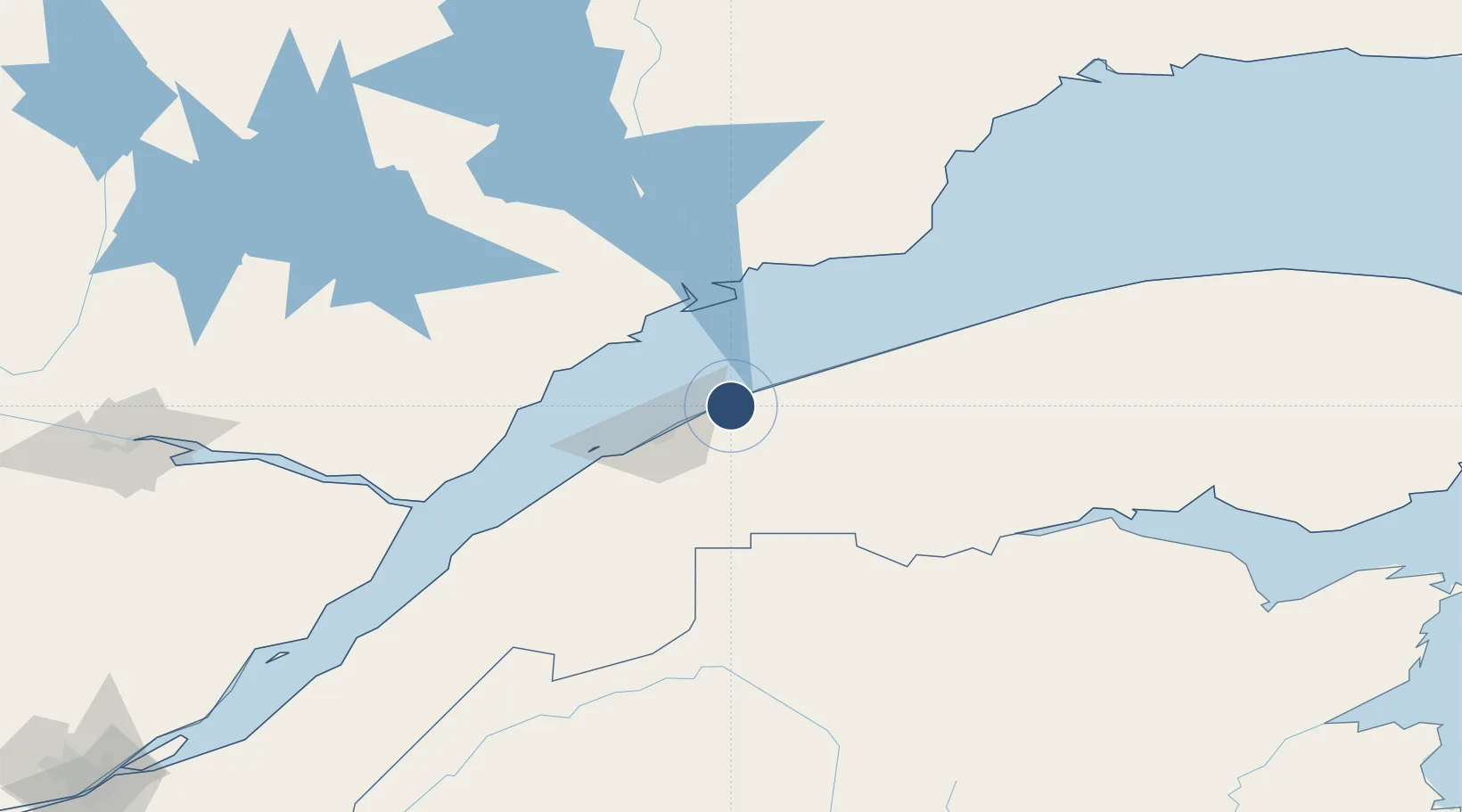
48.6086°, -68.2081°
6,000 ft
Longest runway
2
Runways
172 ft
Elevation
Runway & Layout

Radio Frequencies
CNTR
134.65 MHz
MONTREAL CNTR
FSS
122.1 MHz
RDO
RCO
123.25 MHz
QUEBEC RDO
RDO
122.1 MHz
MF
Navaids
YY NDB Mont Joli 340 kHz
YYY VOR-DME Mont Joli 115.90 MHz
Runways · 2
| Runway | Dimensions | Surface | True heading | Lit |
|---|---|---|---|---|
| 06/24 | 6,000 × 150ft | Asphalt | 039° | ✓ |
| 15/33 | 3,934 × 150ft | Asphalt | 133° | ✓ |
Airport Specifications
IATA code
YYY
ICAO code
CYYY
Airport class
Medium airport
Scheduled service
Yes
Runway surface
Asphalt
Served city
Mont-Joli
Location
Nearby Logistics Neighbours
Airports
- 1Rimouski Airport26 km
- 2Baie-Comeau Airport58 km
- 3Matane Airport62 km
- 4Forestville Airport67 km
- 5Rivière-du-Loup Airport139 km
Cities
- 1Saint-Valérien46 km
- 2Les Escoumins94 km
- 3Trois-Pistoles94 km
- 4Les Mechins101 km
- 5Cap-Chat123 km
Ports
- 1Rimouski29 km
- 2Matane56 km
- 3Baie Comeau70 km
- 4Riviere Du Loup130 km
- 5Dalhousie149 km
Trade Zones
- 1FTZ No. 179 Madawaska148 km
- 2Québec City FTZ302 km
- 3Saint John405 km
- 4FTZ No. 058 Bangor425 km
- 5FTZ No. 186 Waterville466 km
DatabookThe Record of Consolidated Knowledge
Canada beyond logistics?