Channel & Berth Profile
Pilotage, Tugs & Services
Pilotage compulsoryNO
Pilotage availableNO
Pilotage advisableYES
Local assistanceYES
Tug assistanceYES
Salvage tugsNO
Shore powerYES
Potable waterYES
Diesel bunkersYES
MedicalYES
Facilities & Capabilities
Container—
Ro-Ro—
Liquid bulk—
Dry bulk—
Oil terminal—
Break bulk—
Dry dockNO
RepairsNO
BunkeringYES
Rail linkYES
Dangerous cargo—
ISPS security—
Harbour Specifications
Harbour size
Small
Harbour type
Coastal (Natural)
Shelter
Good
Water body
Gulf of Saint Lawrence; North Atlantic Ocean
Tidal range
2 m
Overhead limit
Yes
Pilotage
No
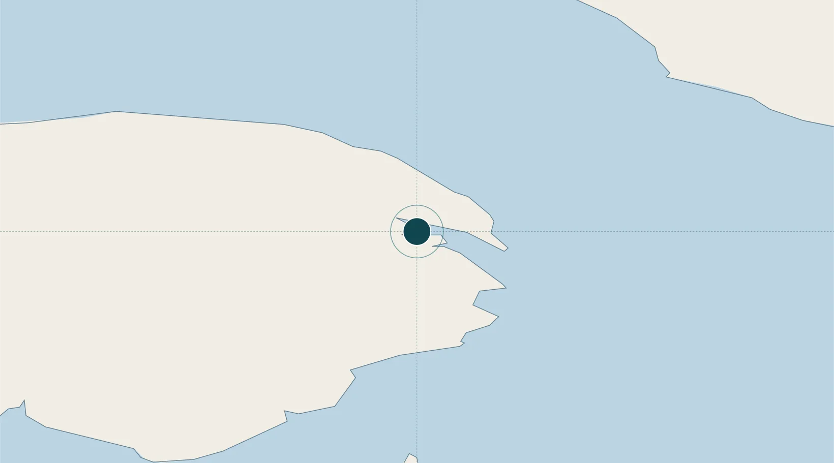
Location
Nearby Logistics Neighbours
Ports
- 1Caraquet120 km
- 2Shippegan122 km
- 3Dalhousie163 km
- 4Havre St Pierre168 km
- 5Sept Iles205 km
Cities
- 1Sandy Beach5 km
- 2Fox River (=riviere-Au-Renard)17 km
- 3L'Anse-à-Beaufils43 km
- 4Grande Riviere50 km
- 5Port-Daniel - Gascons81 km
Airports
- 1Michel-Pouliot Gaspé Airport7 km
- 2Bonaventure Airport111 km
- 3Port-Menier Airport112 km
- 4Bathurst Airport163 km
- 5Charlo Airport165 km
Trade Zones
- 1FTZ No. 179 Madawaska335 km
- 2Cape Breton Regional Municipality Foreign Trade Zone408 km
- 3Saint John414 km
- 4Halifax Gateway470 km
- 5Québec City FTZ552 km
DatabookThe Record of Consolidated Knowledge
Canada beyond logistics?