Transport Functions
Port
Airport
Hub Profile
Place type
Populated place
Region
Quebec
Population
28,534
Time zone
America/Toronto
Elevation
5 m
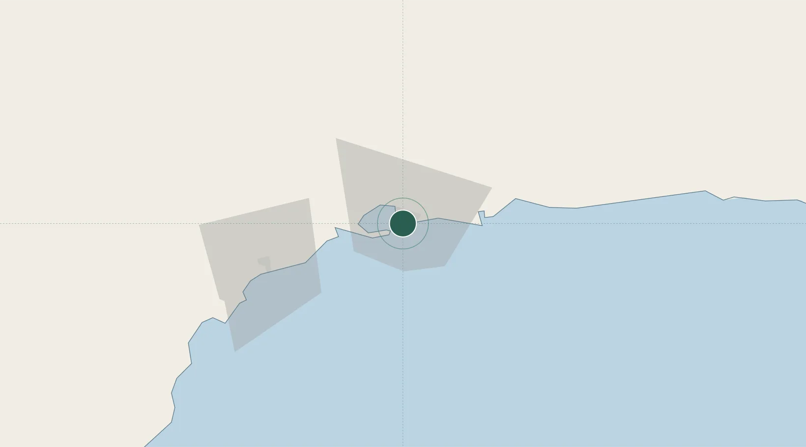
Location
Nearby Logistics Neighbours
Cities
- 1La Relance7 km
- 2Pointe Noire9 km
- 3Port-Cartier40 km
- 4Mont-Louis118 km
- 5Sainte-Anne-des-Monts121 km
Ports
- 1Pointe Noire8 km
- 2Port Cartier34 km
- 3Baie Comeau166 km
- 4Matane172 km
- 5Havre St Pierre198 km
Airports
- 1Sept-Îles Airport9 km
- 2Port-Menier Airport155 km
- 3Matane Airport168 km
- 4Baie-Comeau Airport177 km
- 5Havre-Saint-Pierre Airport197 km
Trade Zones
- 1FTZ No. 179 Madawaska355 km
- 2Québec City FTZ519 km
- 3Saint John548 km
- 4Cape Breton Regional Municipality Foreign Trade Zone613 km
- 5FTZ No. 058 Bangor627 km
DatabookThe Record of Consolidated Knowledge
Canada beyond logistics?