Channel & Berth Profile
Pilotage, Tugs & Services
Pilotage compulsoryNO
Pilotage availableYES
Tug assistanceNO
Salvage tugsNO
Shore powerYES
Potable waterYES
Diesel bunkersYES
MedicalYES
Facilities & Capabilities
Container—
Ro-Ro—
Liquid bulk—
Dry bulk—
Oil terminal—
Break bulk—
Dry dock—
RepairsNO
BunkeringYES
Rail linkYES
Dangerous cargo—
ISPS security—
Harbour Specifications
Harbour size
Very Small
Harbour type
River (Natural)
Shelter
Good
Water body
Gulf of Saint Lawrence; North Atlantic Ocean
Tidal range
4 m
Overhead limit
No
Pilotage
No
Liner Connectivity
11.4
PLSCI
Port Liner Shipping Connectivity Index for Matane, as published by UNCTAD for the latest available quarter. Higher values indicate stronger scheduled liner-shipping integration.
Shown relative to the highest per-port PLSCI in the dataset (1,657.9).
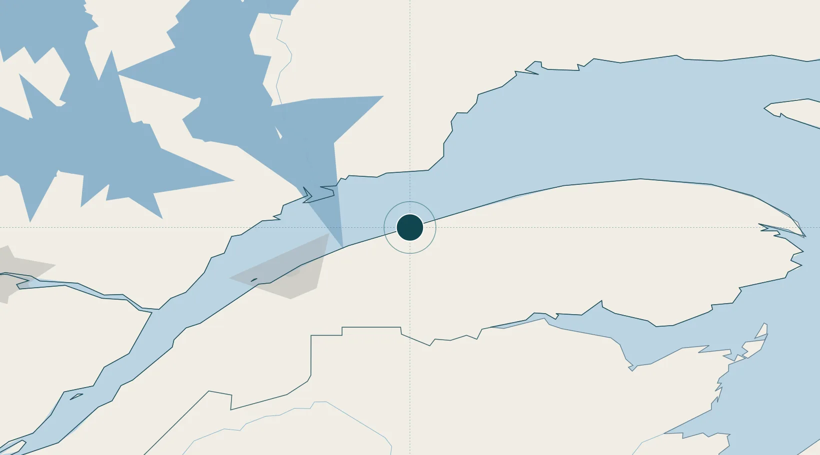
Location
Nearby Logistics Neighbours
Ports
- 1Baie Comeau61 km
- 2Rimouski85 km
- 3Dalhousie122 km
- 4Port Cartier142 km
- 5Pointe Noire165 km
Cities
- 1Les Mechins45 km
- 2Cap-Chat67 km
- 3Sainte-Anne-des-Monts82 km
- 4Saint-Valérien101 km
- 5Atholville114 km
Airports
- 1Matane Airport6 km
- 2Mont Joli Airport56 km
- 3Baie-Comeau Airport58 km
- 4Rimouski Airport82 km
- 5Forestville Airport115 km
Trade Zones
- 1FTZ No. 179 Madawaska185 km
- 2Québec City FTZ357 km
- 3Saint John413 km
- 4FTZ No. 058 Bangor460 km
- 5FTZ No. 186 Waterville507 km
DatabookThe Record of Consolidated Knowledge
Canada beyond logistics?