Channel & Berth Profile
Pilotage, Tugs & Services
Pilotage compulsoryNO
Pilotage availableYES
Pilotage advisableYES
Local assistanceNO
Tug assistanceYES
Salvage tugsNO
Potable waterYES
Diesel bunkersYES
MedicalYES
Garbage disposalYES
Facilities & Capabilities
ContainerYES
Ro-RoYES
Liquid bulkYES
Dry bulkYES
Oil terminal—
Break bulkYES
Dry dockNO
RepairsNO
BunkeringYES
Rail link—
Dangerous cargo—
ISPS securityYES
Harbour Specifications
Harbour size
Medium
Harbour type
Coastal (Natural)
Shelter
Fair
Water body
North Atlantic Ocean
Tidal range
2.4 m
Overhead limit
No
Pilotage
No
Liner Connectivity
18.9
PLSCI
Port Liner Shipping Connectivity Index for Argentia, as published by UNCTAD for the latest available quarter. Higher values indicate stronger scheduled liner-shipping integration.
Shown relative to the highest per-port PLSCI in the dataset (1,657.9).
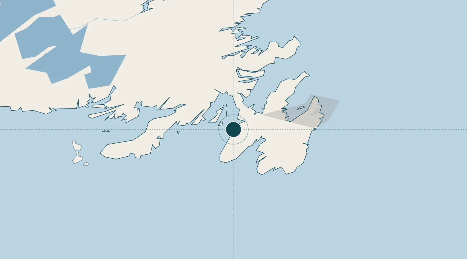
Location
Nearby Logistics Neighbours
Ports
- 1Come By Chance Harbor56 km
- 2Bay Roberts63 km
- 3Bay Bulls88 km
- 4Clarenville97 km
- 5St John's101 km
Cities
- 1Long Harbour20 km
- 2Norman's Cove37 km
- 3Saint-Joseph's41 km
- 4Dildo43 km
- 5New Harbour46 km
Airports
- 1St. John's International Airport99 km
- 2Saint-Pierre Pointe-Blanche Airport177 km
- 3Miquelon Airport183 km
- 4Gander International Airport187 km
- 5Fogo Airport263 km
Trade Zones
- 1Crossroads Business Park188 km
- 2Cape Breton Regional Municipality Foreign Trade Zone531 km
- 3Halifax Gateway798 km
- 4Saint John954 km
- 5FTZ No. 179 Madawaska1081 km
DatabookThe Record of Consolidated Knowledge
Canada beyond logistics?